
Are you lost? Are you having trouble guessing what the right speed limit is for a road that doesn’t have it posted? Then this guide’s for you!
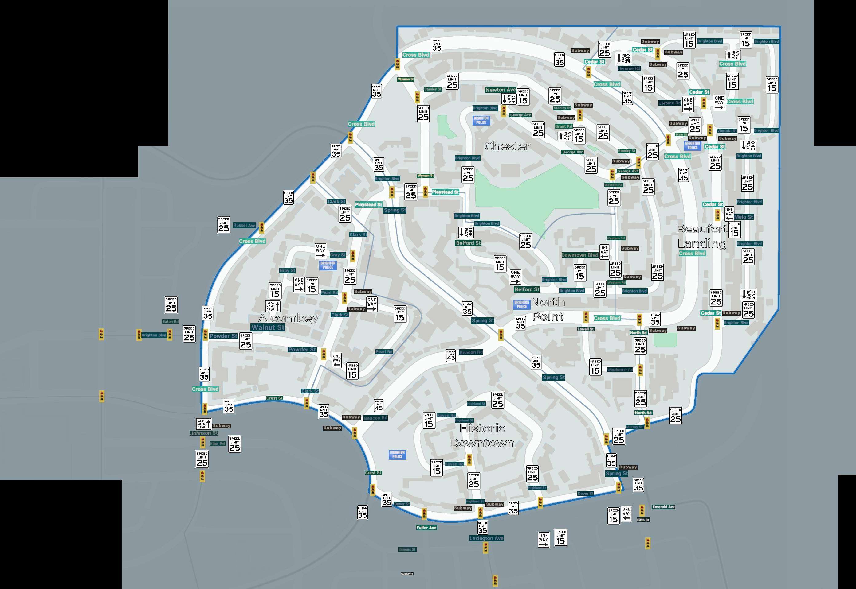
The Map
The map shows you street names, speed limits, and lights.
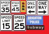
Reference Images
This is an image i compiled for the map icons.
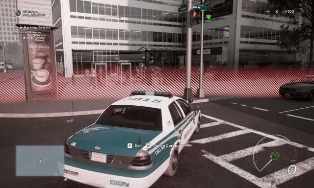
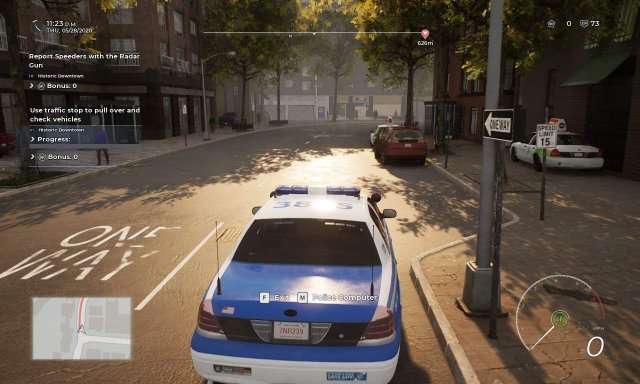
Using the map in the Police Computer (car at the time since i overlooked you had the map on foot) to align the map. Locked districts will be added when they are added to the game.
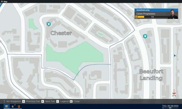
Getting the signs (and speed limits via radar gun when not posted) for out of bounds areas.
I have placed the street name in a square-like position, ensuring it’s appropriately sized. An excessively small size would reduce readability, while an overly large size would necessitate scaling.
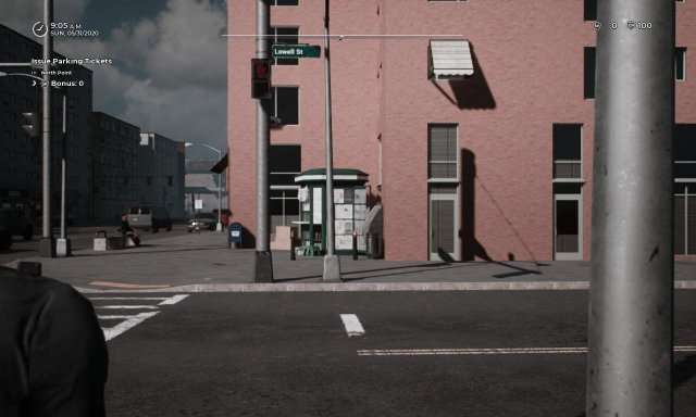
Checking the road for One Way & a Speed Limit sign (which is lacking on roads with 25).
And this is a basic insight to how the images were gathered to make this map happen. I encourage anyone who can make a realistic map to improve this map and publish their own guide.


Disregard, just noticed you are somehowlucky. You should put your username on the image