
A list of locations such as wallowing holes, salt licks, migration zones and more on the gateway map. screenshots, coordinates.
And a basic description of each location will be provided, as well as relative instructions on how to reach the area.
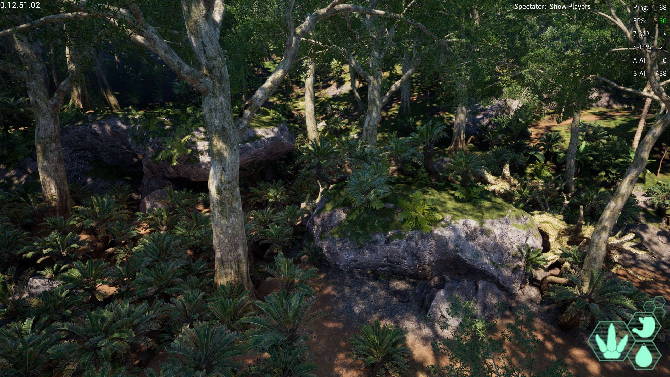
Wallowing Holes
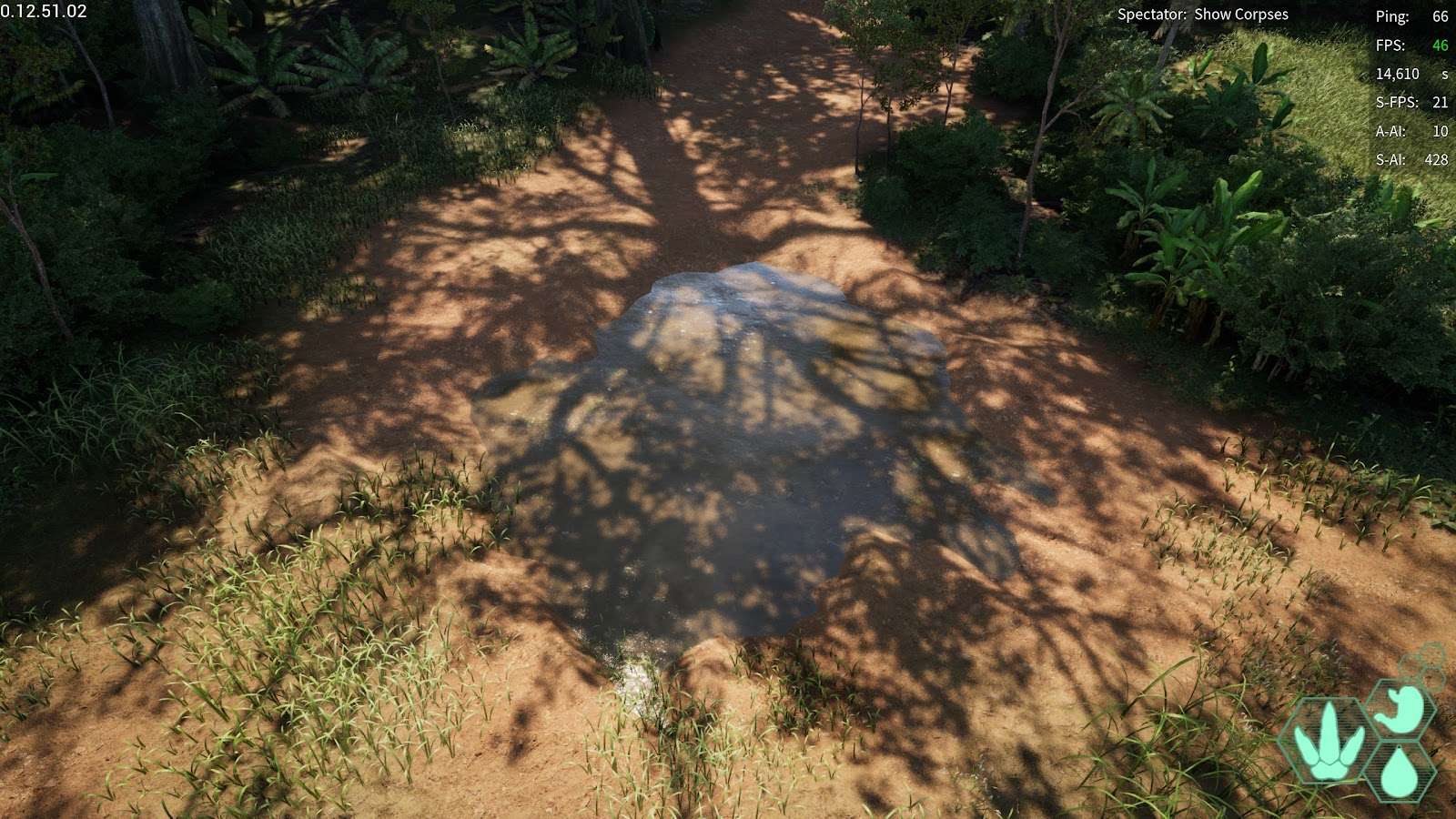
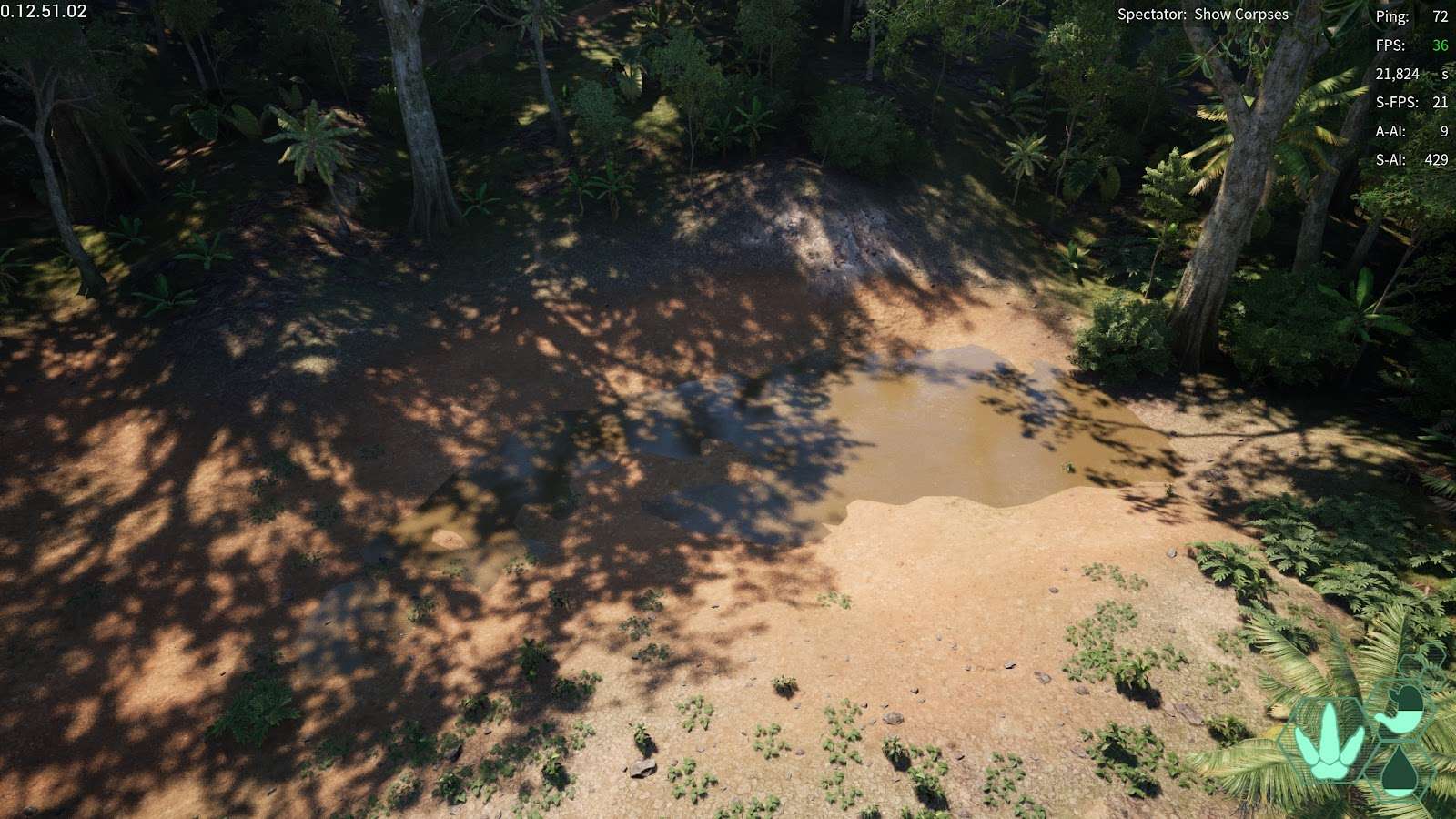
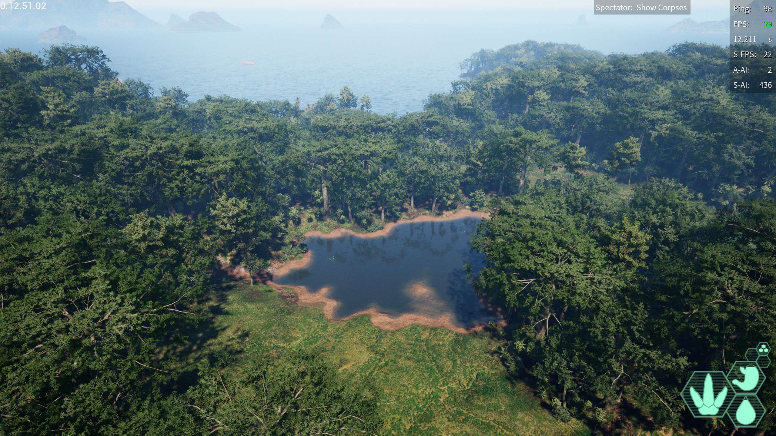
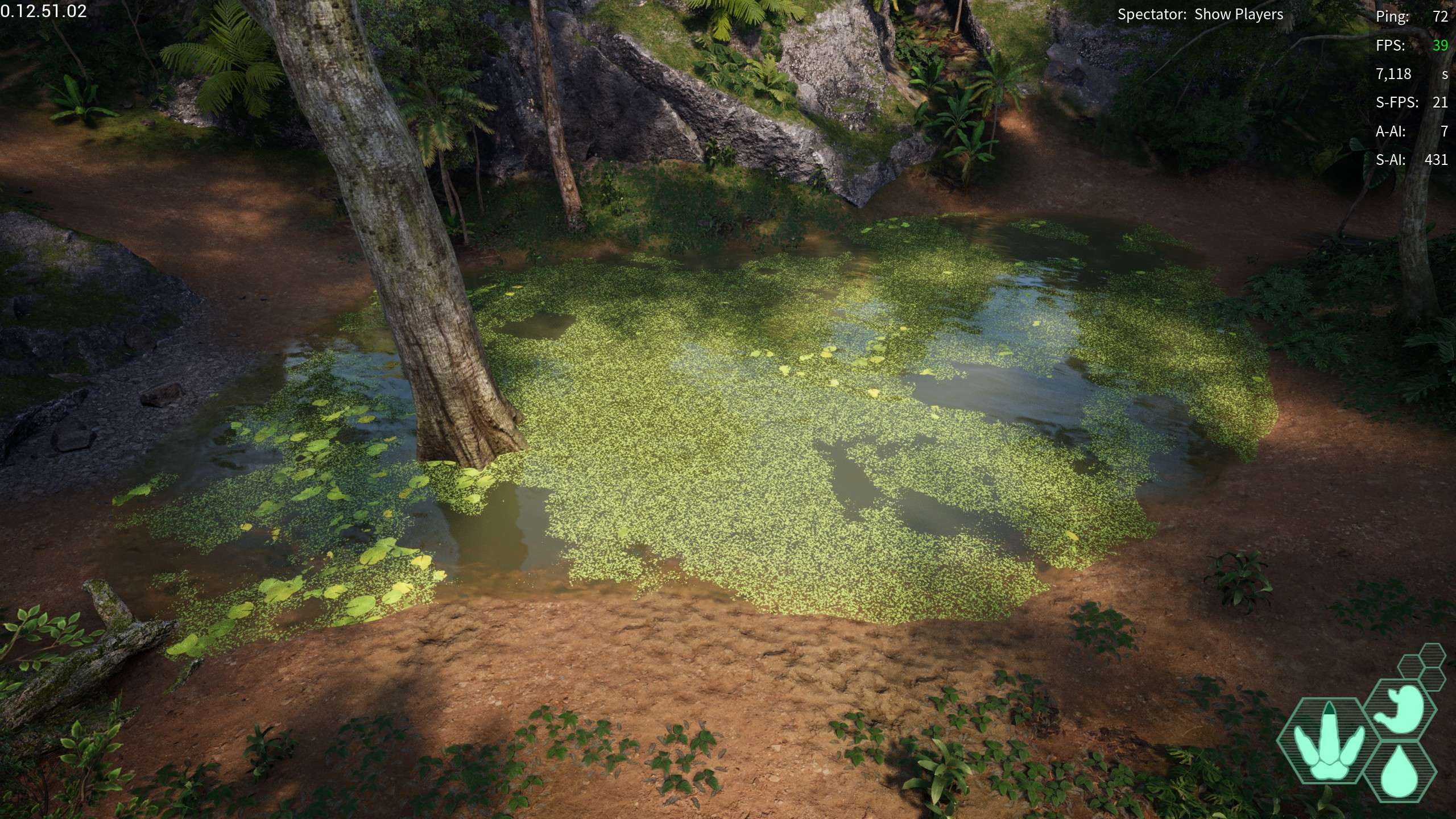
Island Wallowing Hole: A wallowing hole on an island, not much else to say, this island is very close to the mainland, and has plenty of grass to eat, unsure on diet foods however.
- -334,275.419, -272,587.422, 21,053.386
Vein Island Wallowing Hole: A wallowing hole on the “Vein Island” which is located off the swamp coast, the wallowing hole is found on the northern side of the island
- 192,909.754, 487,928.988, 24,428.046
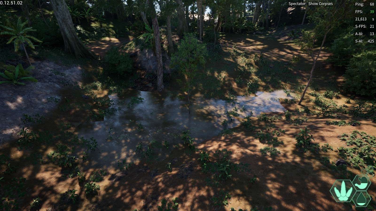
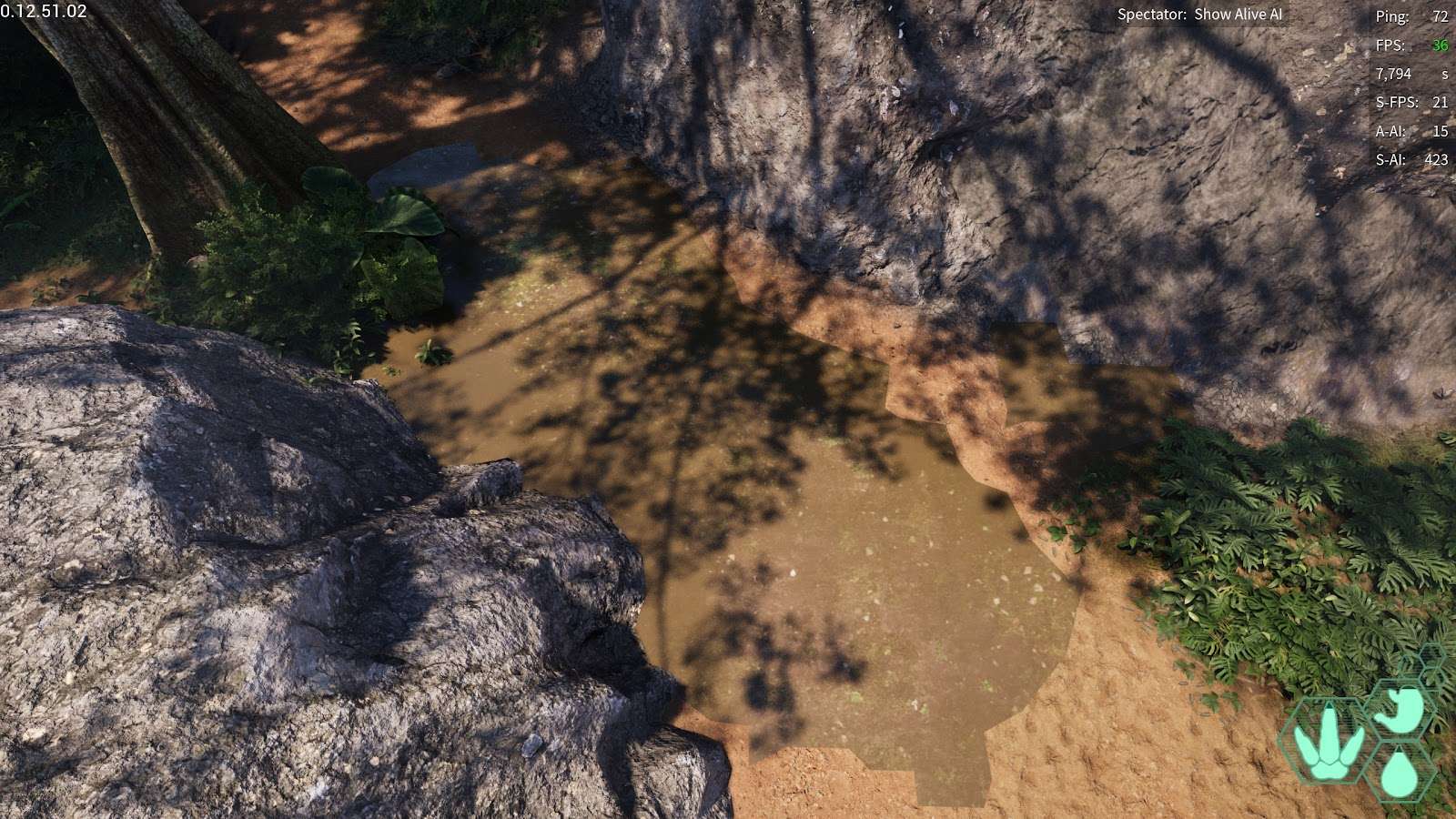
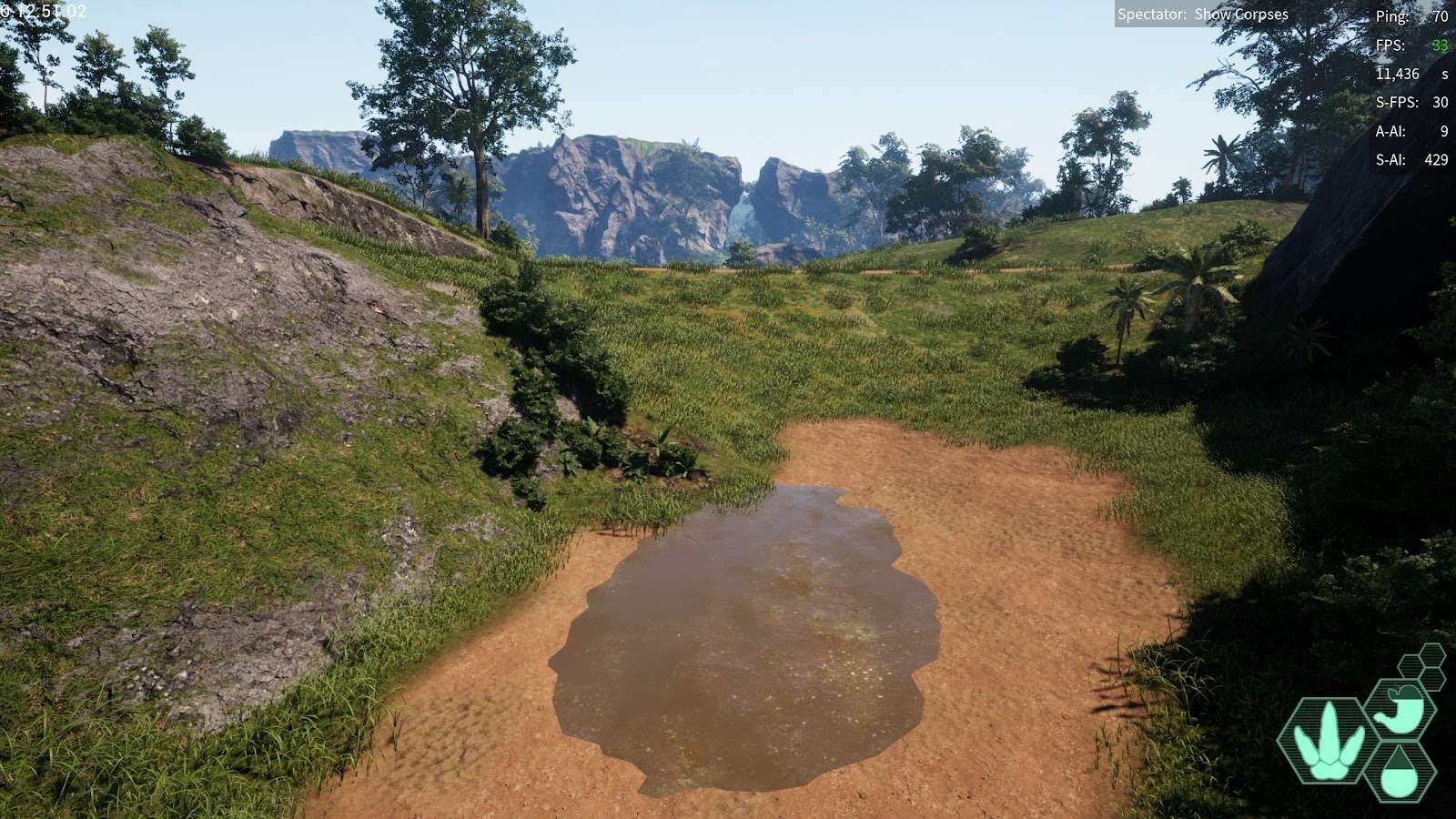
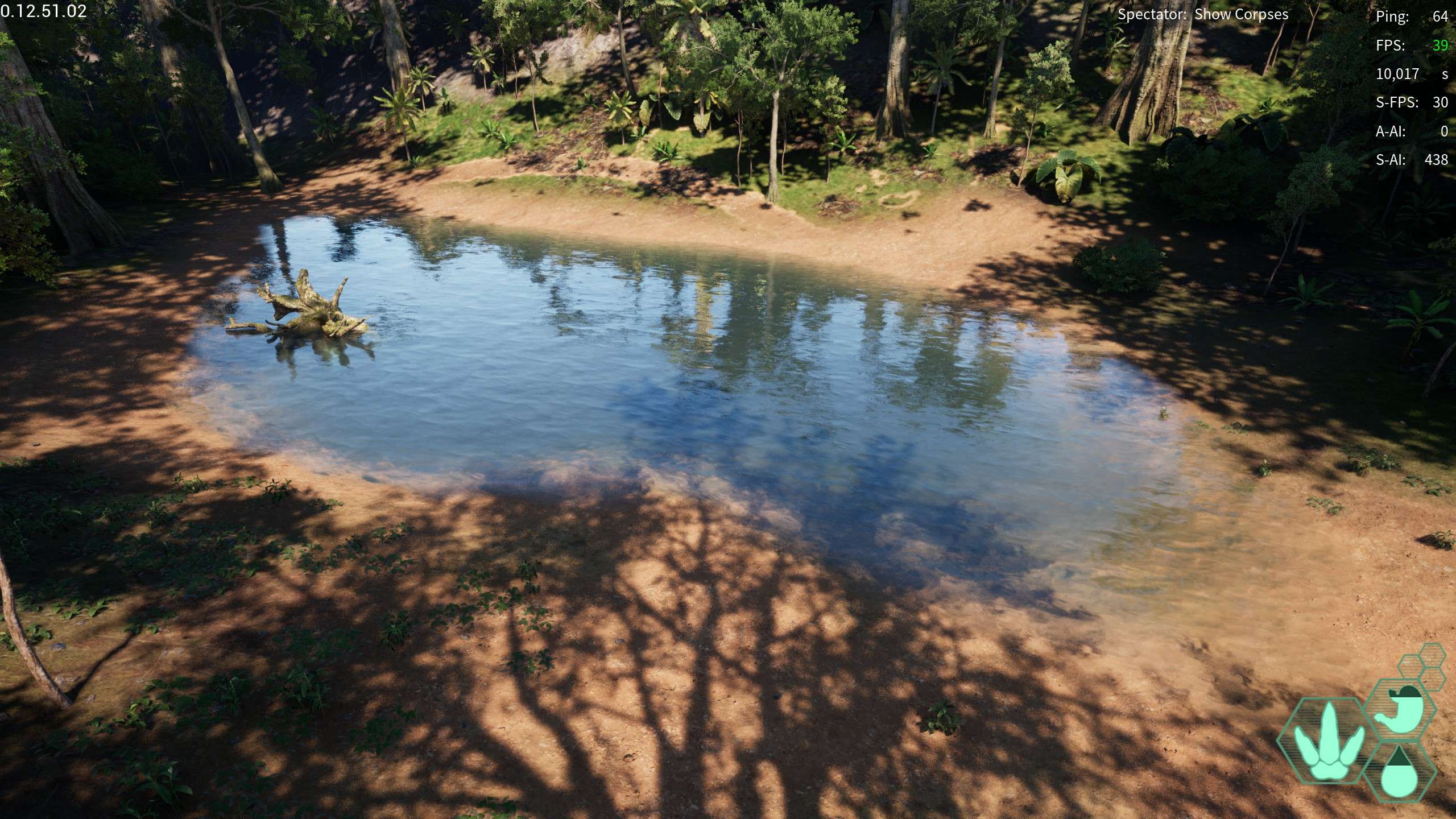
Hidden Wallowing Hole: near the water access pond slightly hidden in the trees
- -301,143.941, -27,991.157, 20,444.621
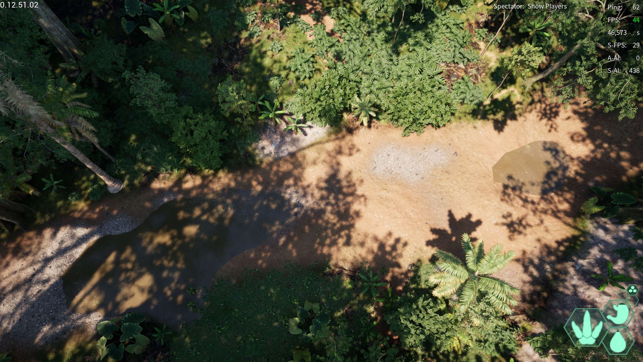
Hidden Outpost Wallowing Hole: A wallowing hole under a bridge at the Hidden Outpost
- -396,757.688, -20,889.048, 27,760.469
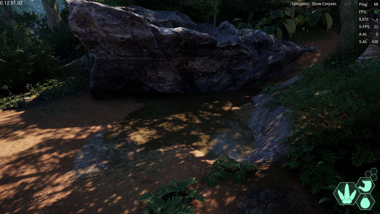
Water Access Wallowing Hole: Directly by the water access pond, how convenient
- -248,241.549, 82,180.051, 28,278.775
East Wallowing Hole: Located by the east checkpoint, a small wallowing hole relatively out of the way
- -275,764.663, 504,540.791, 20,777.342
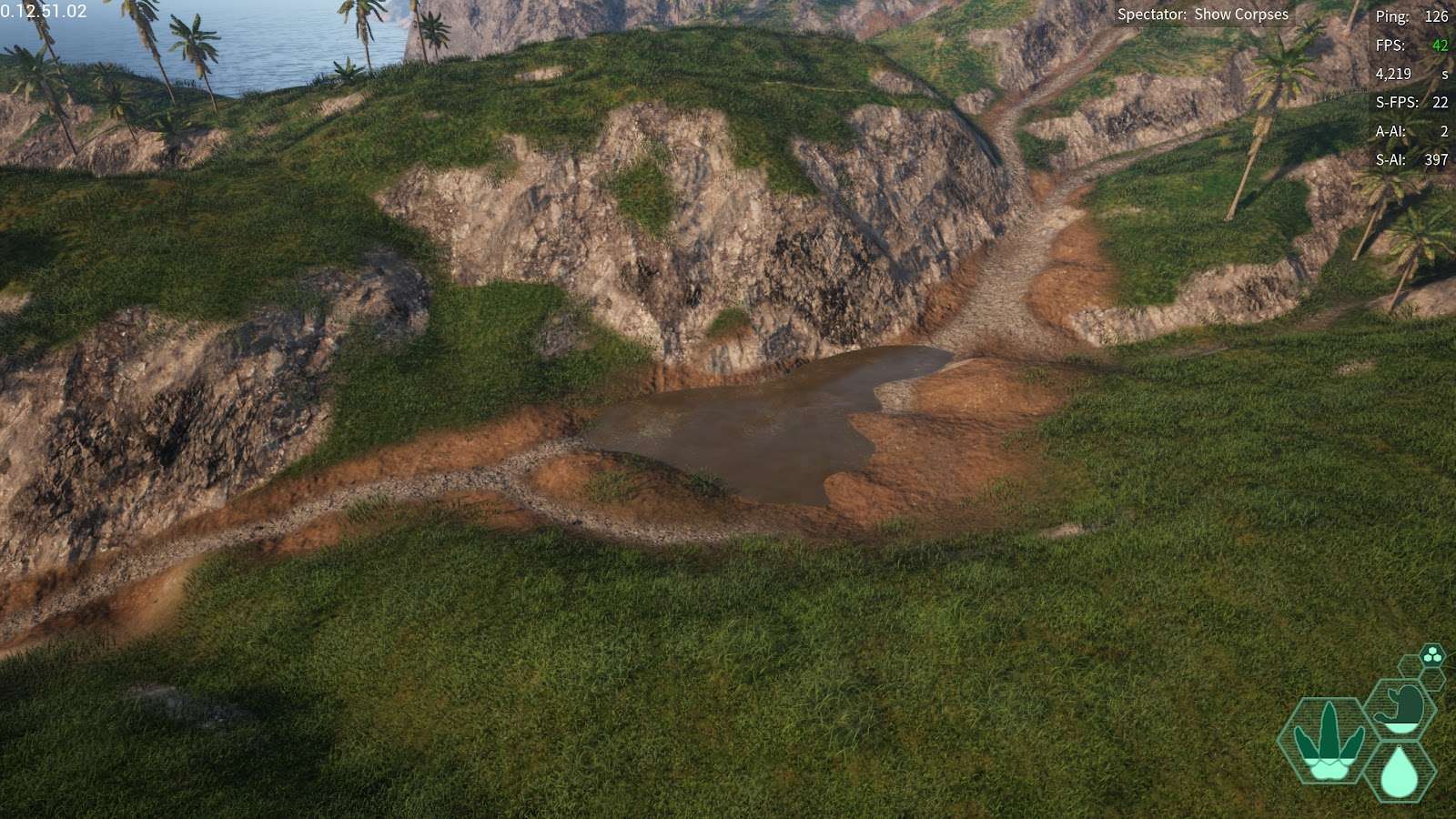
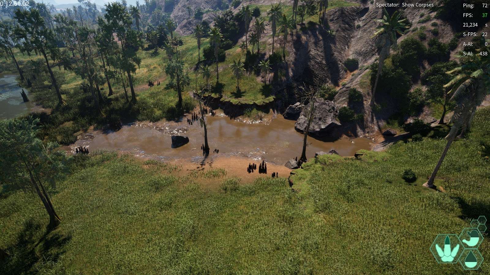
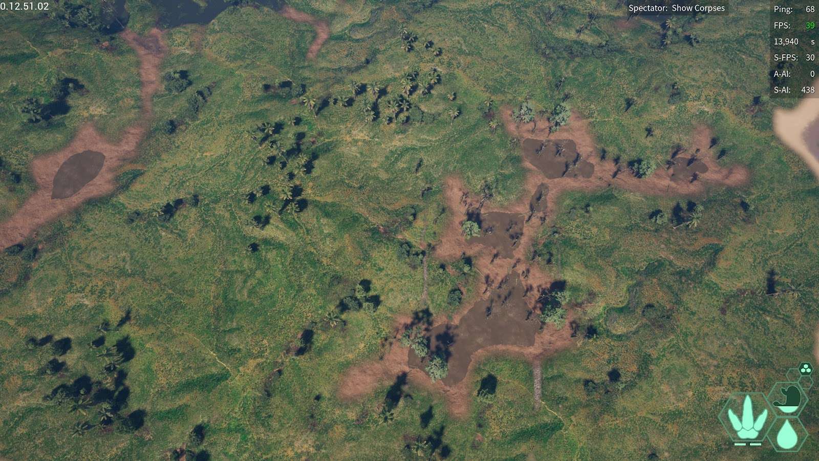
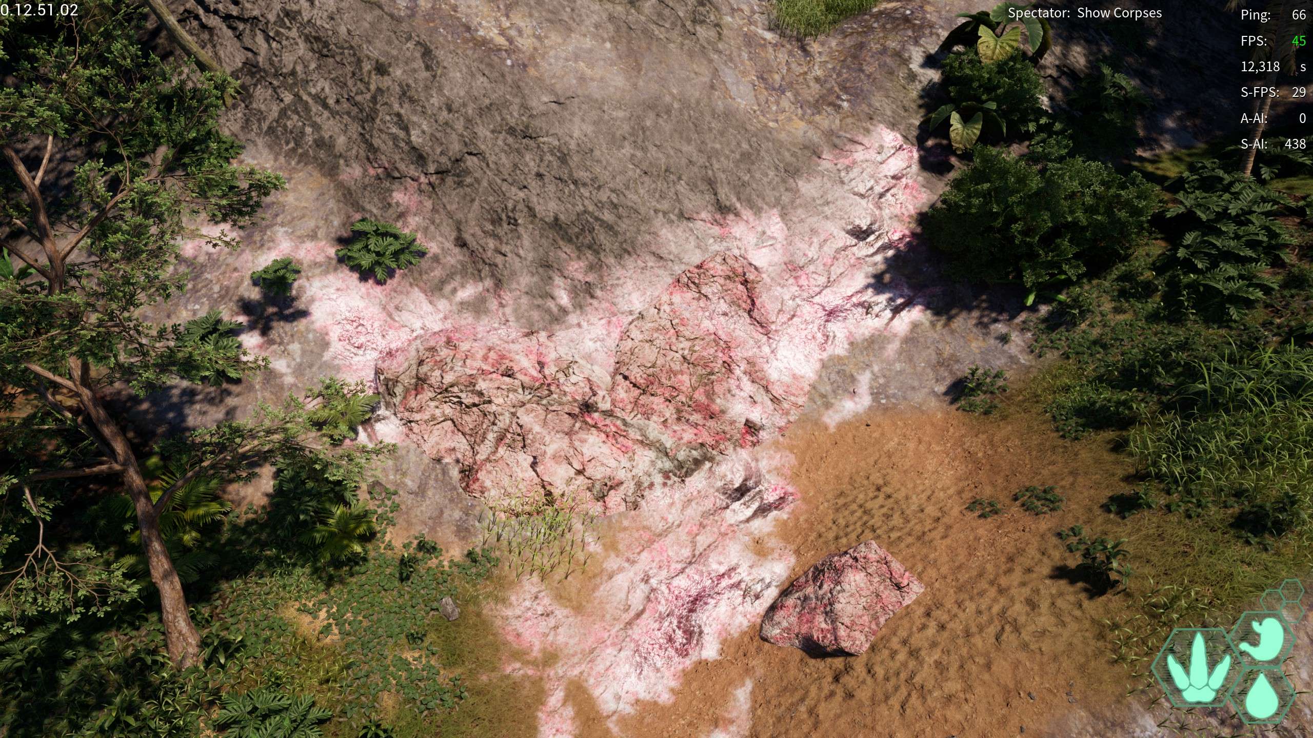
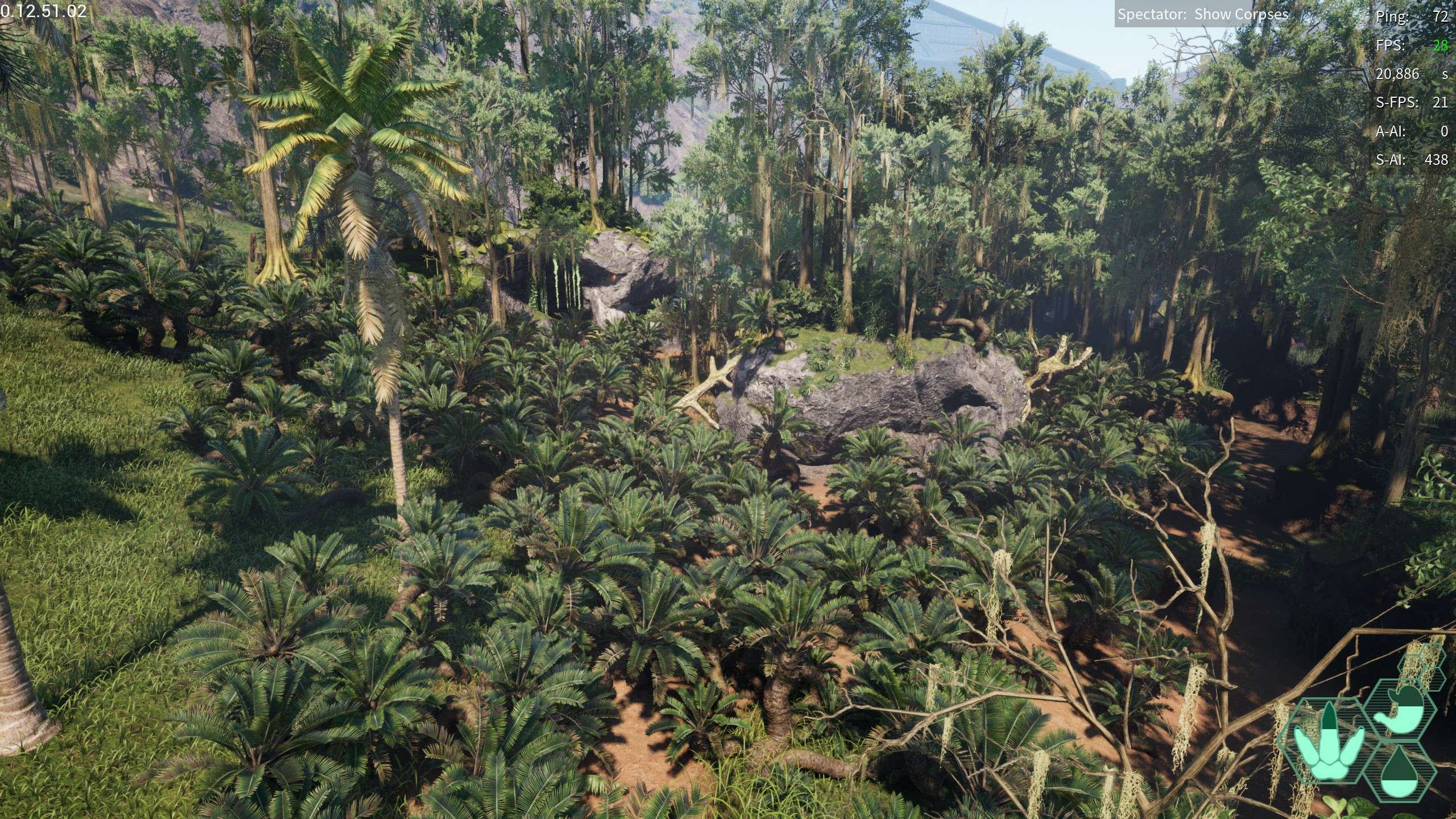
The Pit: A massive wallowing hole in the swamp area, looks disheveled and dead
- 173,047.9, 175,960.987, 20,432.522
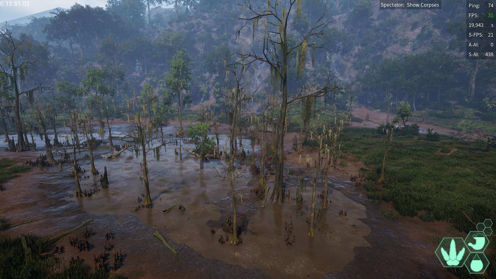
The Midpit: Another massive mudpit in swamp, around the middle of swamp, looks just as disheveled and dead
- 237,419.51, 119,480.69, 20,312.579
The Deep-pit: Possibly the largest of the swamp mudpits, it’s also the furthest in. might just be me but it looks… just as dead
- 303,755.384, 110,852.681, 20,320.305
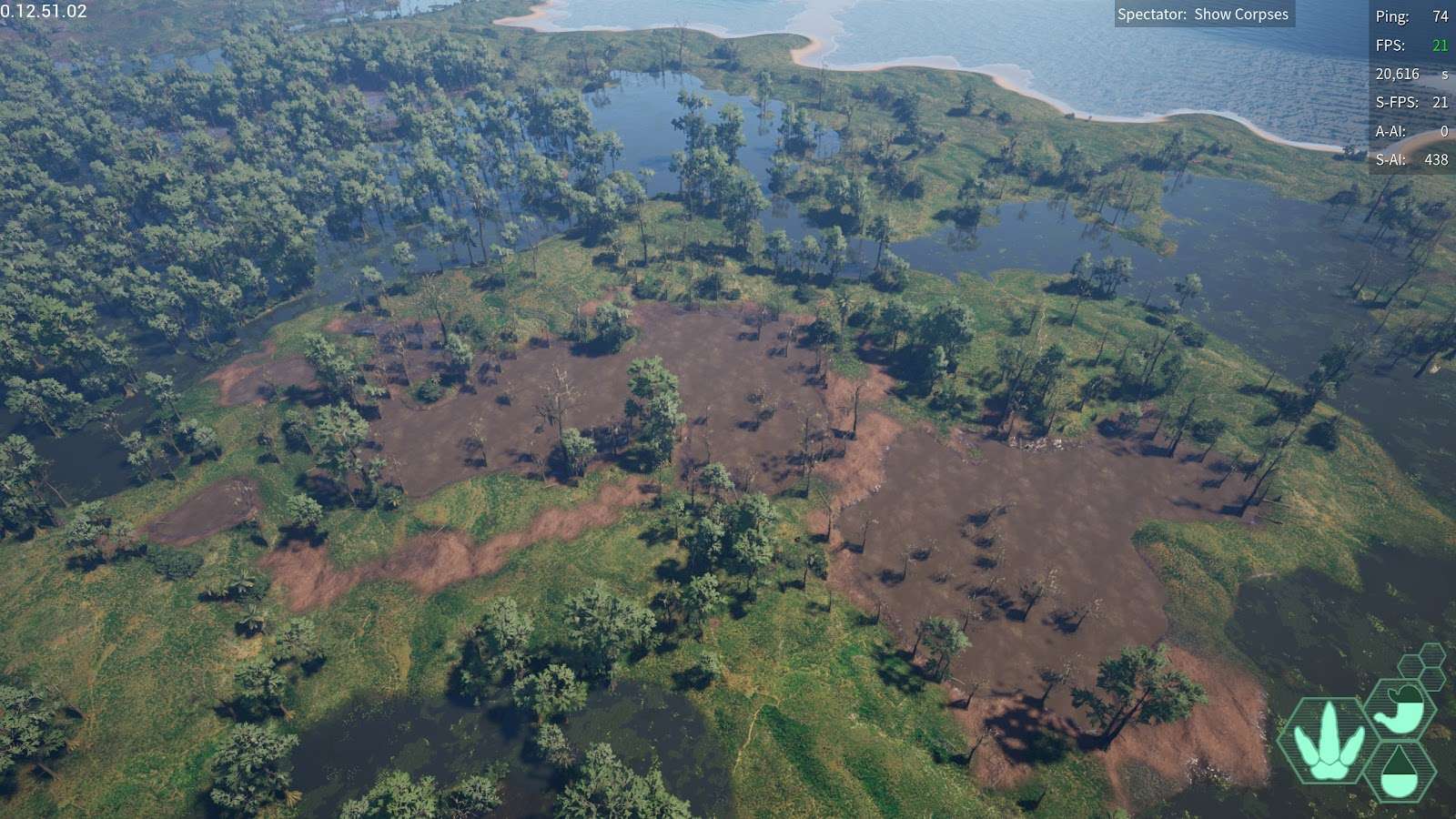
The Deepest Pit: i bet you’re expecting a absolutely GARGANTUAN mudpit, after all, with depth the size has only increased, well. here it is. The Deepest Pit
- 312,890.92, 56,984.365, 20,365.992
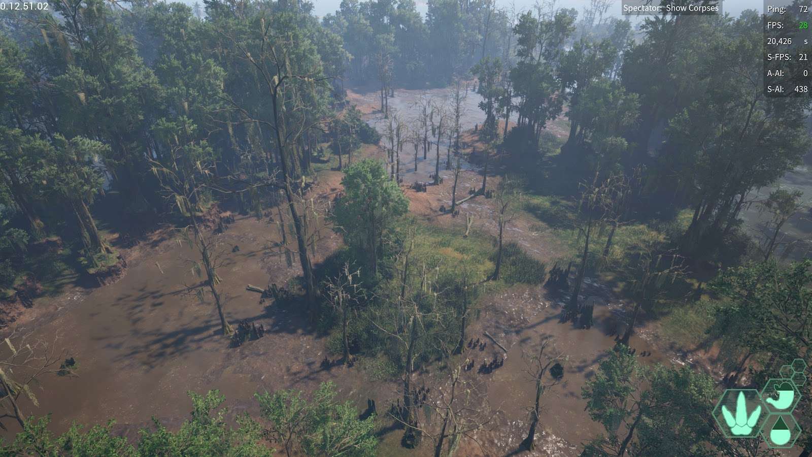
Coastal Pit: A wallowing hole next to the coast at swamp
- 347,110.96, 165,408.35, 20,600.256
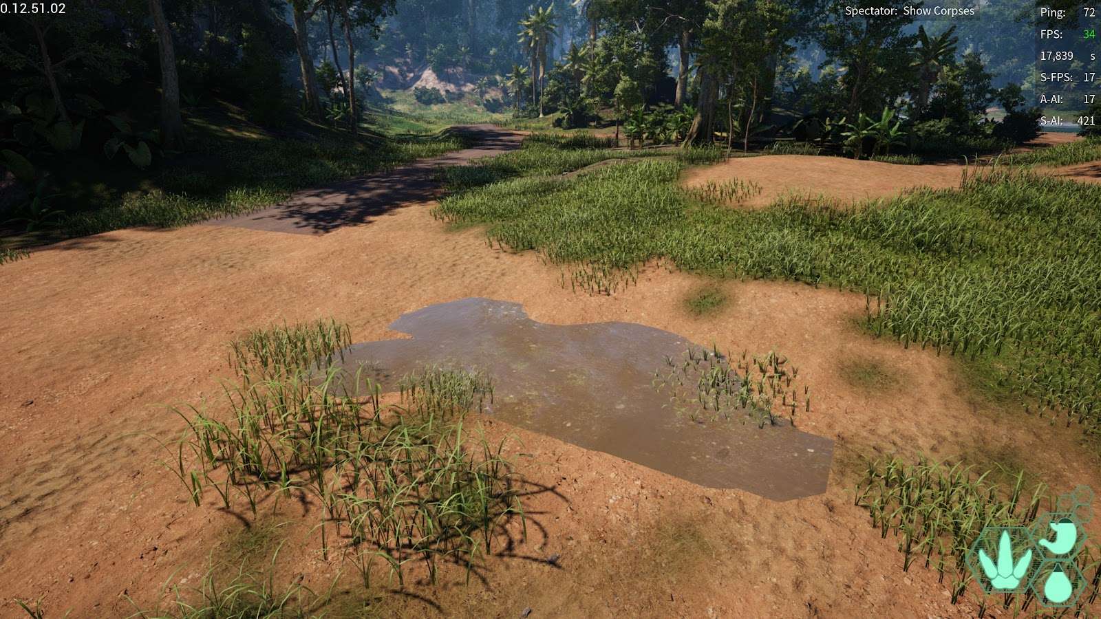
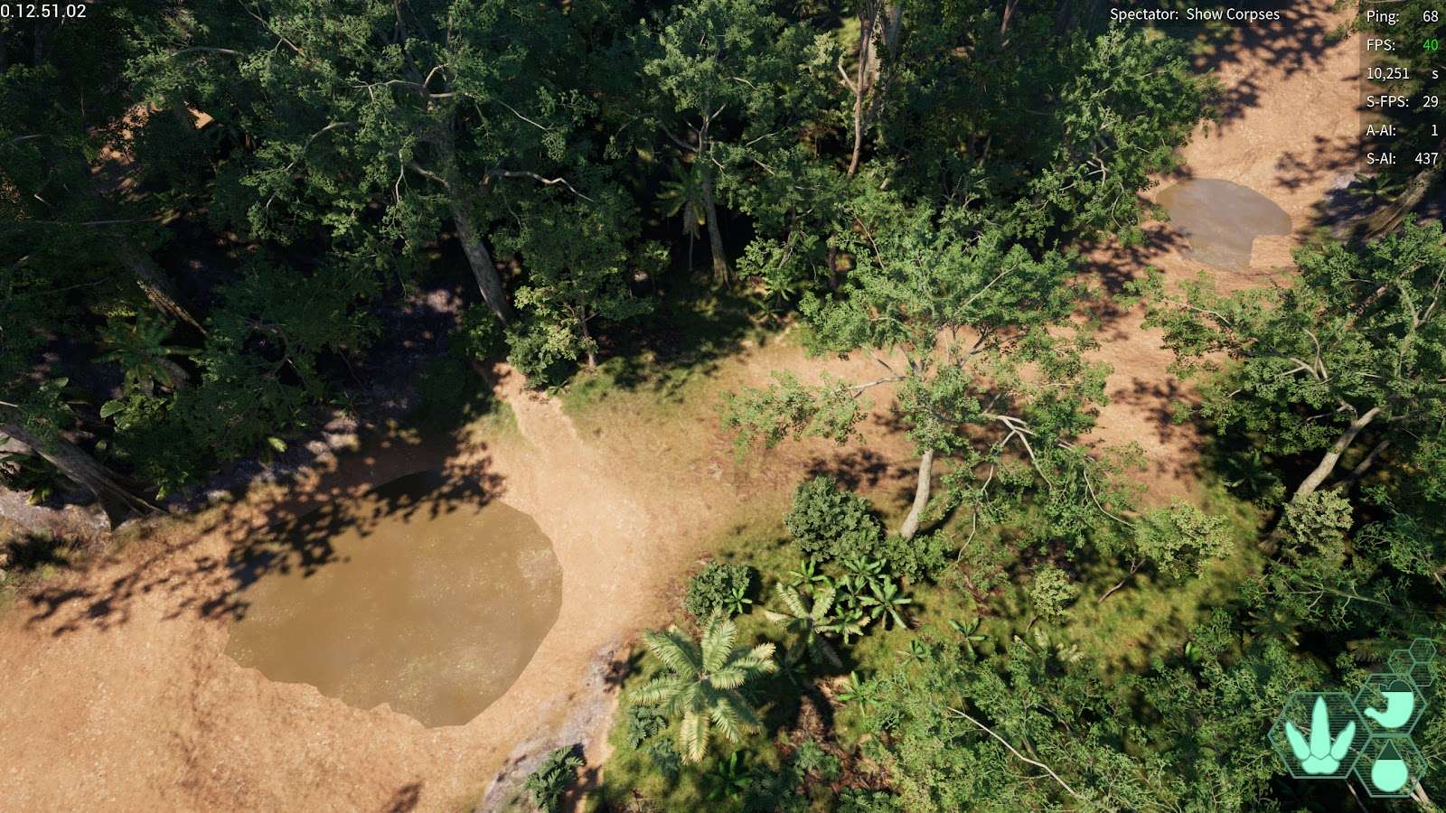
Southern Wallowing Hole: A bit of a ways from the southern pond, hidden in the trees.
- 367,141.302, -225,572.945, 22,915.566
Cliffside Wallowing Hole: Not far from the previous wallowing hole, can be find along a cliffs edge
- 225,182.291, -349,979.086, 24,726.073
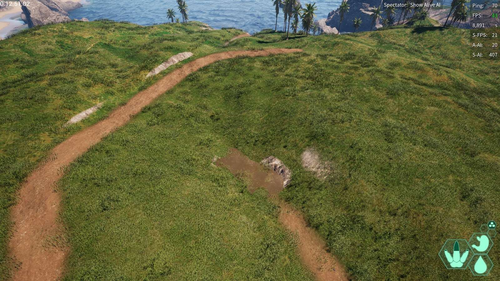
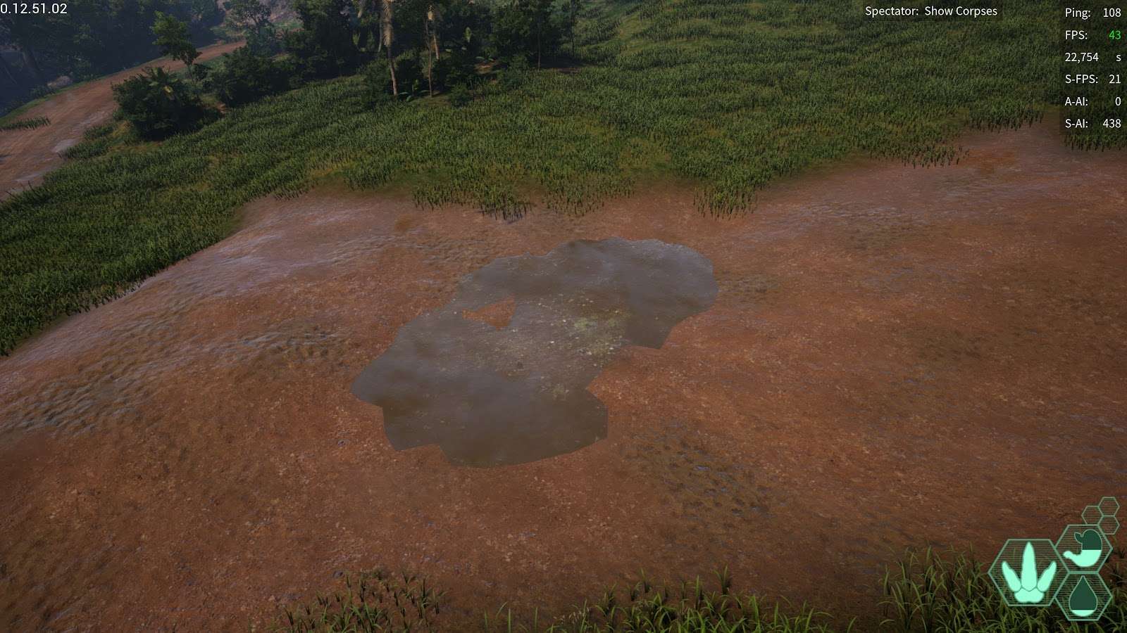
Plains Wallowing Hole: Next to the plains pond, pretty tiny
- 11,178.131, -290,055.002, 29,481.892
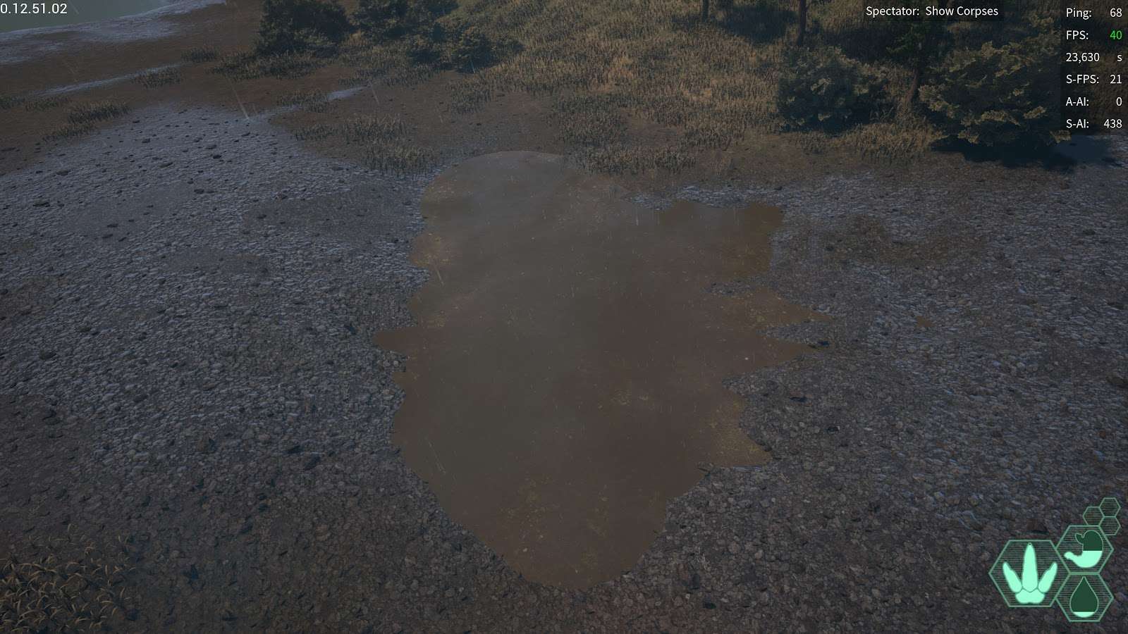
Highlands Wallowing Hole: At the highlands pond, decent size
- -147,112.838, -36,123.372, 48,374.786
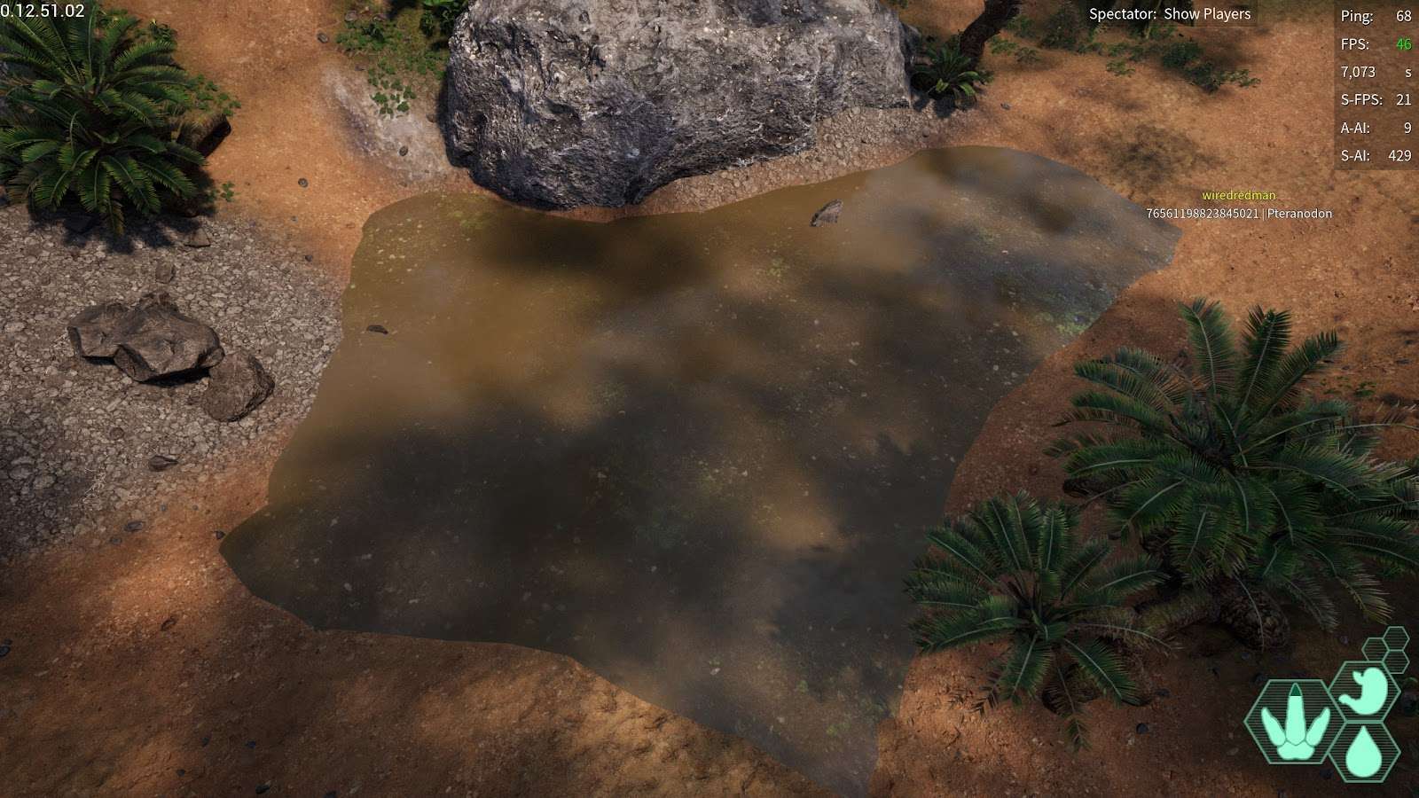
Access Sanctuary Wallowing Hole: A wallowing hole right next to the water access sanctuary decently sized
- -281,490.019, 189,800.8, 34,550.612
Falls Pond Wallowing Hole: A wallowing hole basically right ontop of the falls pond
- -175,773.94, 325,653.2, 21,591.21
Pyramid Bridge Wallowing Hole: A wallowing hole directly next to the Pyramid Bridge
- -169,891.927, 158,638.451, 23,800.844
Twin Wallowing Holes, Closeby to the hidden pond and highlands
- -80,119.995, 117,688.838, 28,502.209
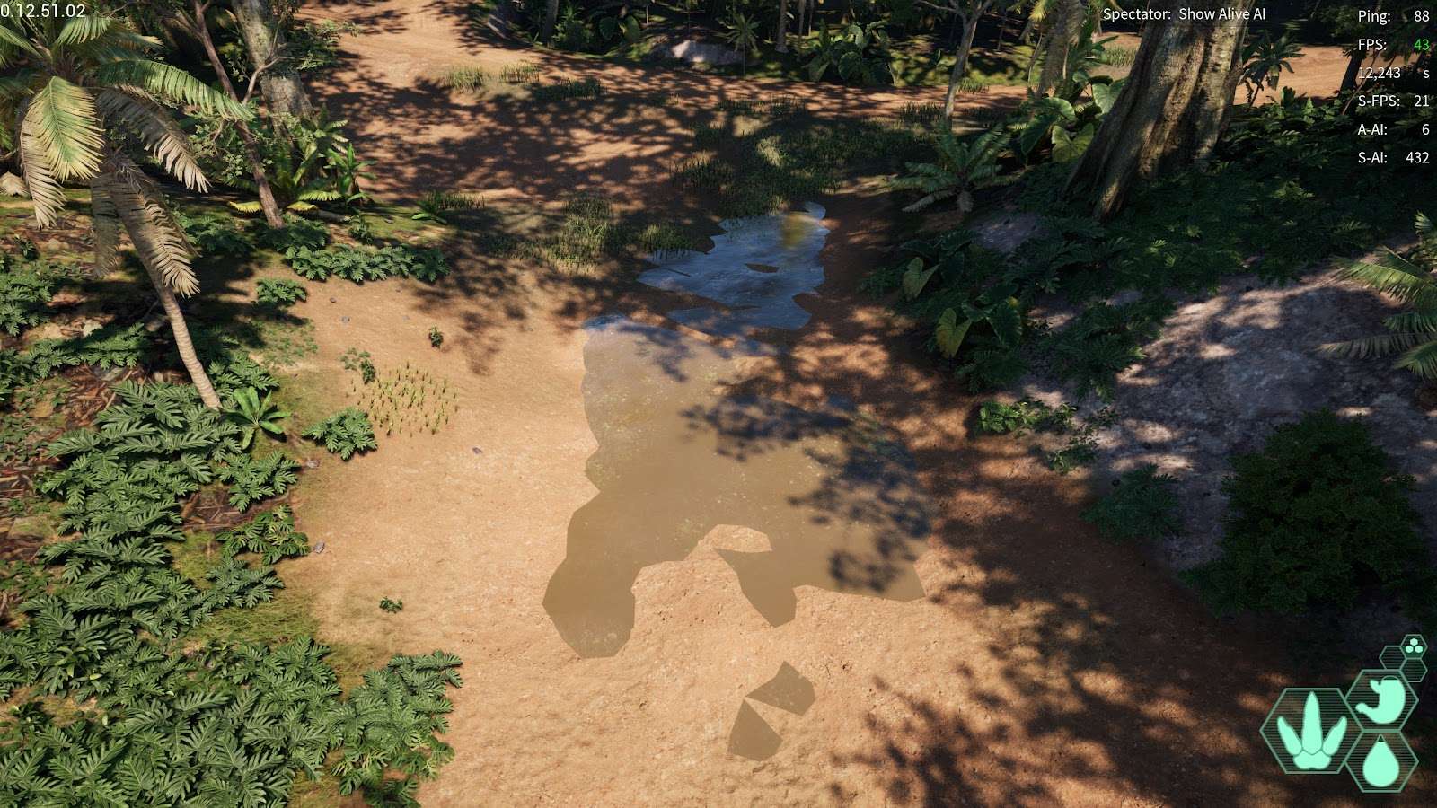
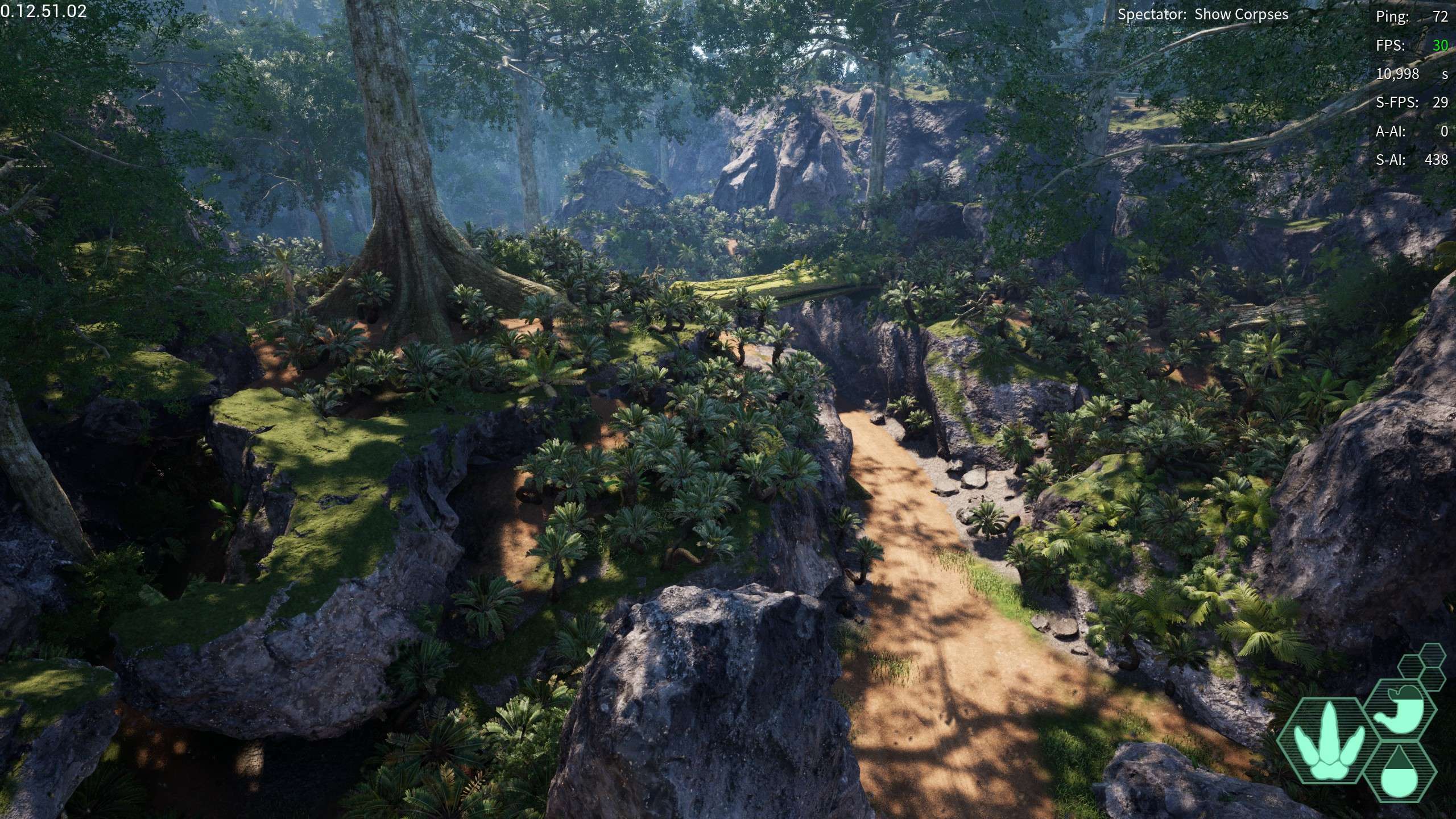
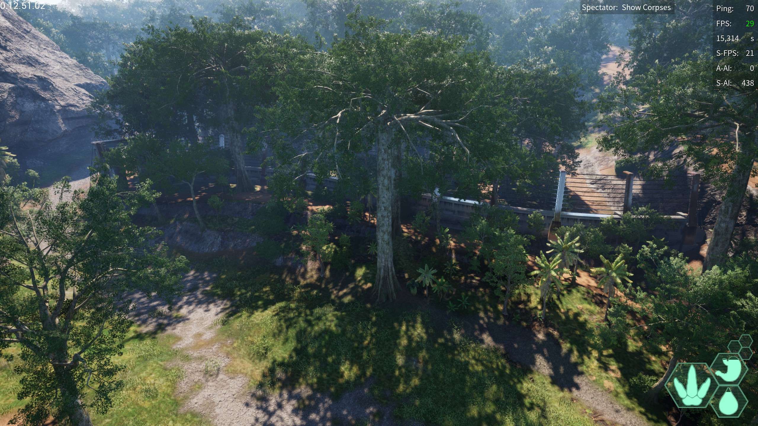
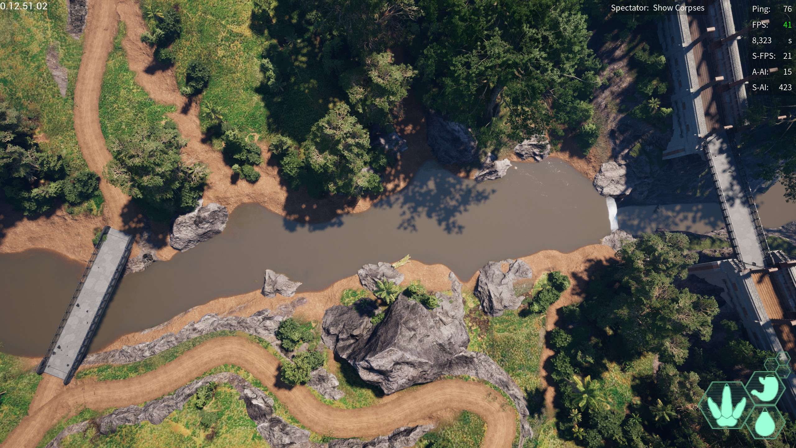
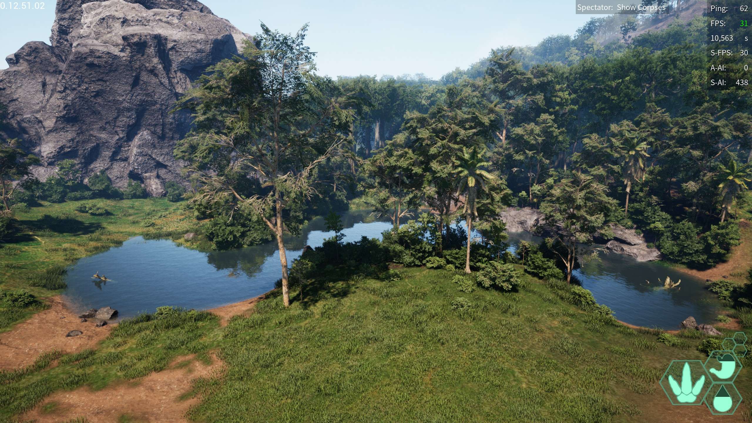
Cave Wallowing Hole: Located around the fork where Ravine River and the river feeding from Water Access meet, it’s located in a small cave that has two entrances.
- -50,137.958, 219,473.103, 21,792.925
Delta Wallowing Hole: A wallowing hole bordering the river delta towards swamp
- 56,113.211, 103,542.69, 20,876.184
Rocky Coasts Wallowing Holes: Closeby to one of the rocky coasts migration zones
- -70,137.611, 469,008.482, 24,912.477
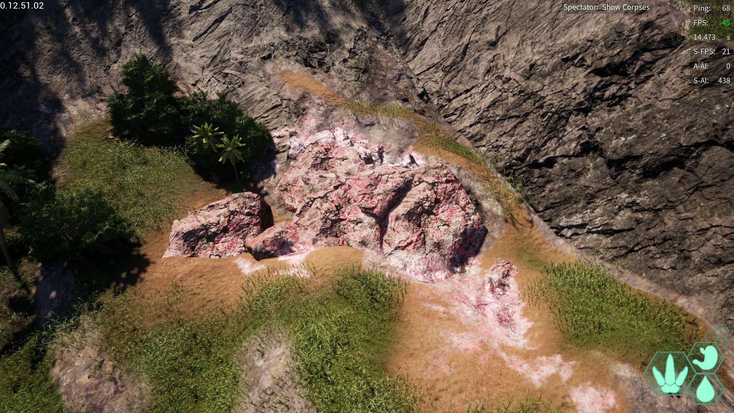
Salt Licks
Water Access Salt Lick: A salt lick by water access
- -231,654.353, 52,099.673, 29,328.085
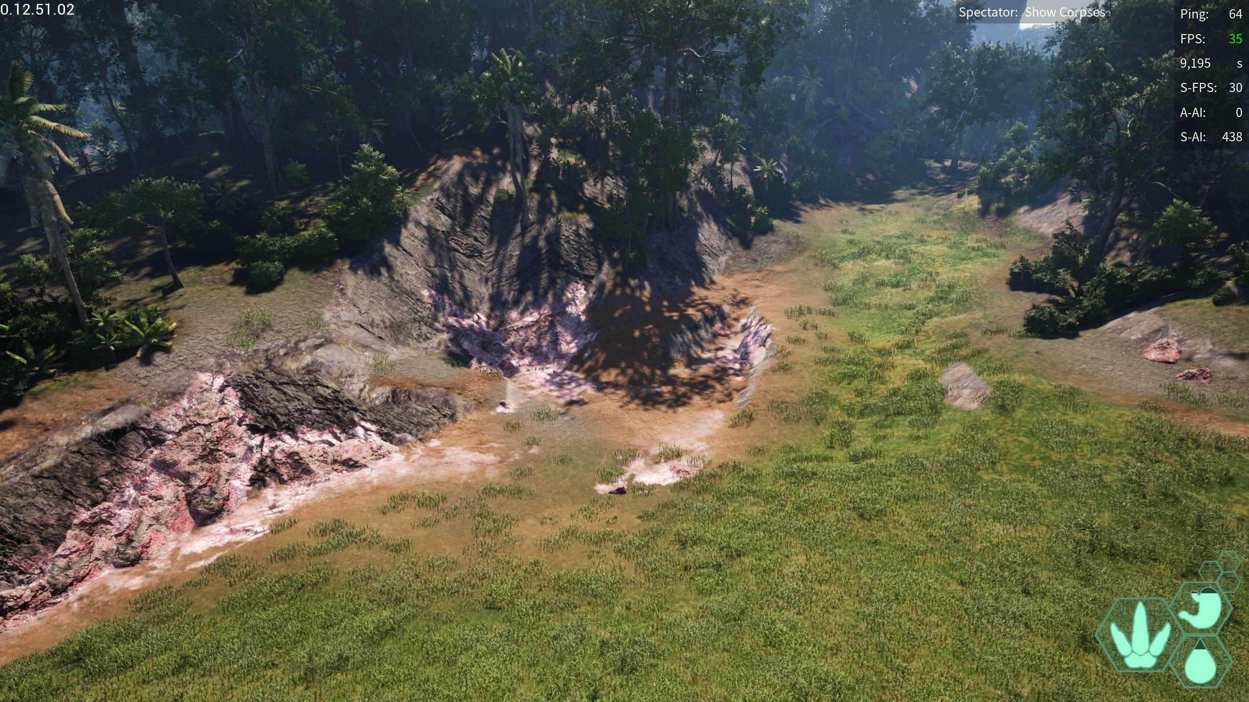
Falls Pond Salt Lick: A massive conglomeration of alt licks all in one spot, closeby to the falls pond
- -159,923.37, 293,325.38, 20,976.557
Highlands Salt Lick: located near the Hidden Dam as well as Highlands
- 41,151.966, -88,576.924, 40,006.944
Nesting Grounds
None appear to be implemented but they are planned.
Migration Zones
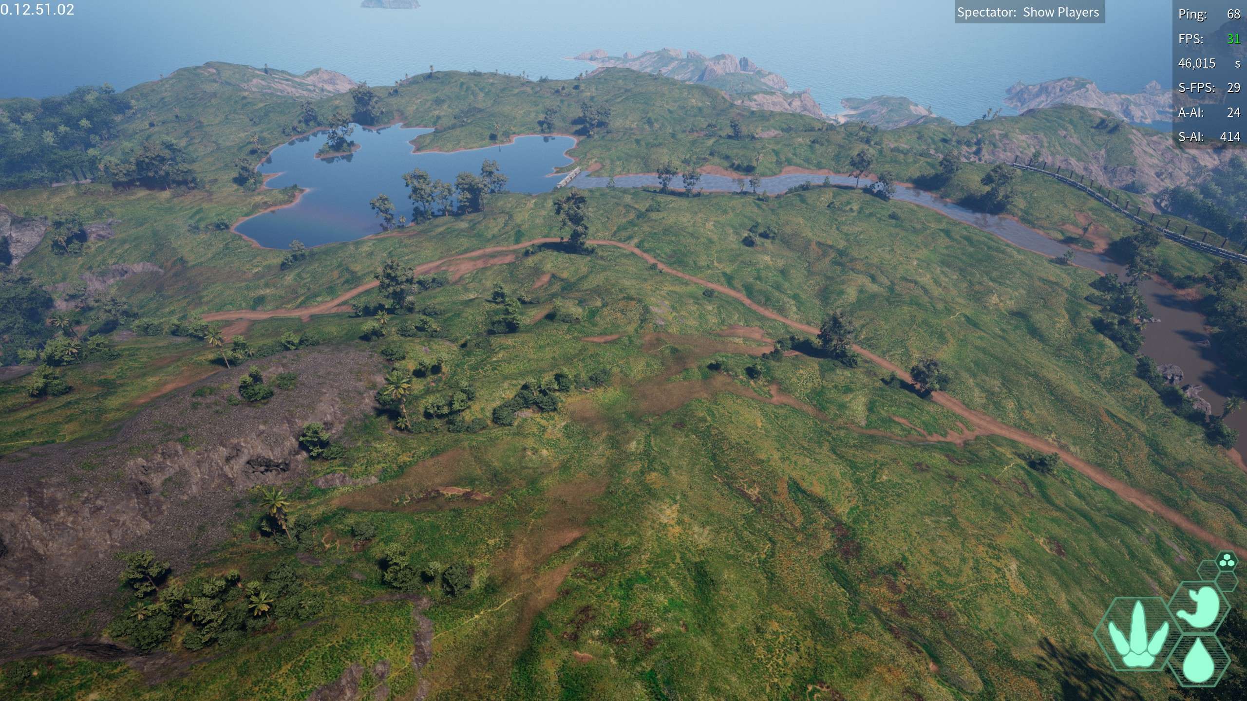
Highlands – a very large mountainous biome that most dinos visit in their lives, this large biome is also incredibly rocky and very Savannah like in places includes the following plants: Mountain Ash, Radish Flower, Fireweed, Radish Root
Multiple Zones located one the following coordinates:
- -61,148.677, -105,647.727, 50,560.688
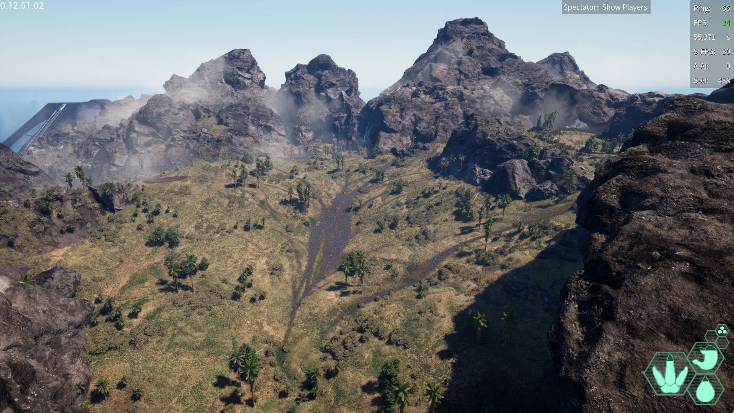
- -115,541.493, -34,225.33, 49,801.072
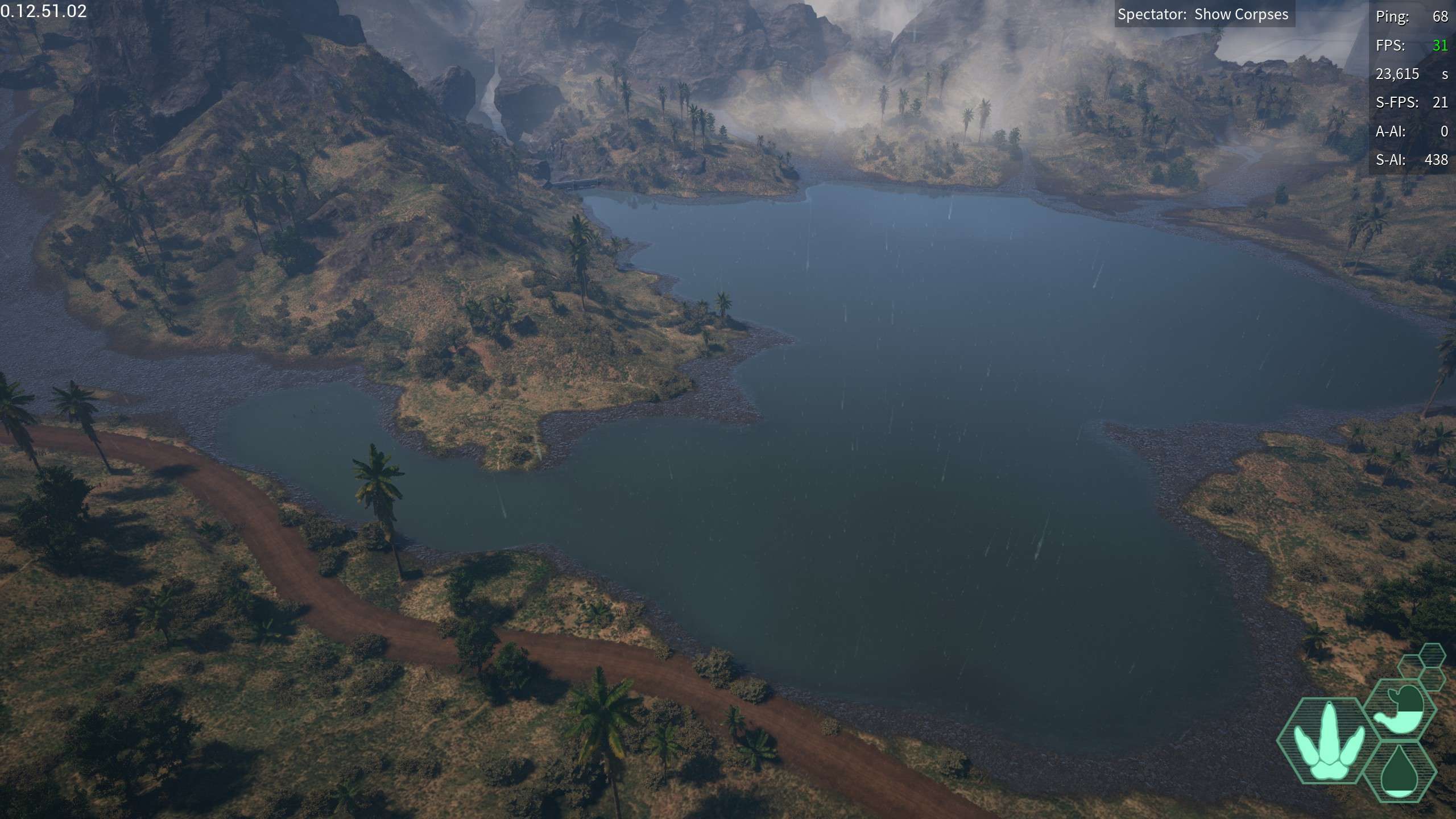
River Delta: Ah quite a large and fascinating migration zone, perfect for semi aquatics and other water loving dinos.
Multiple Zones located one the following coordinates:
- 134,647.759, 236,194.732, 20,730.855
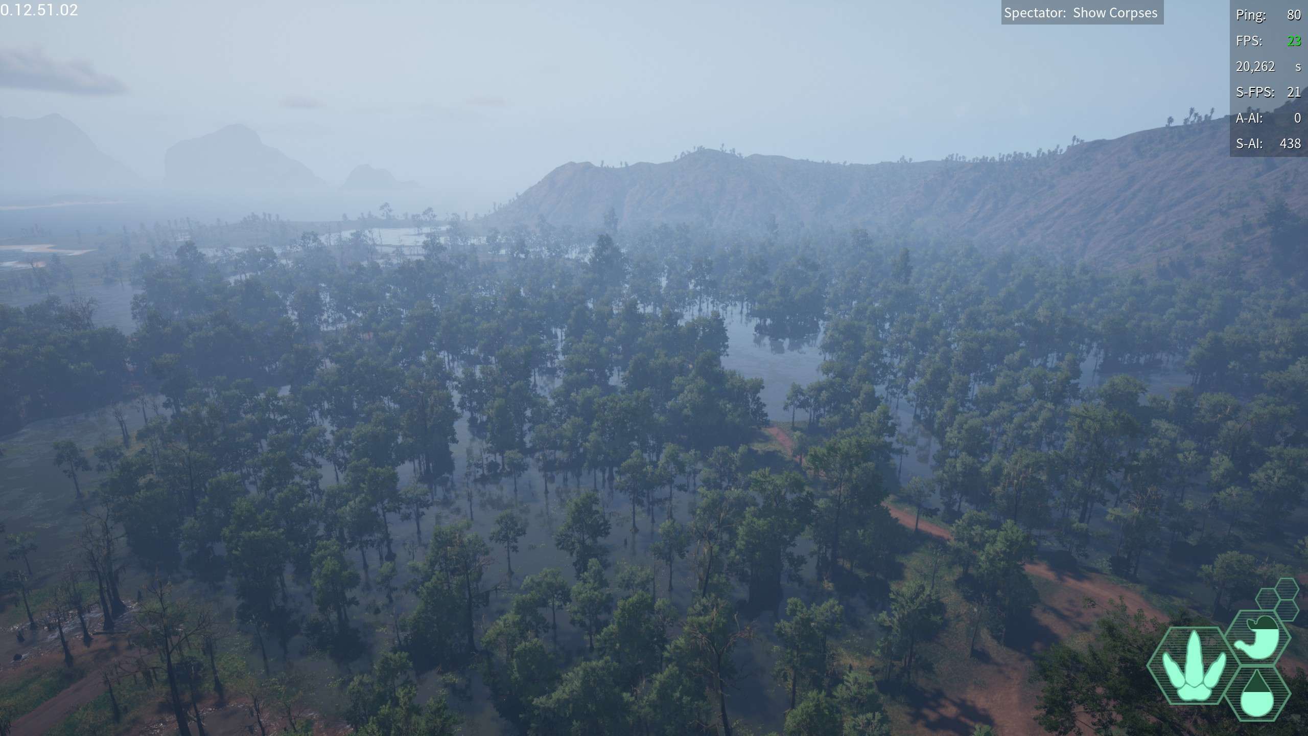
Swamp: A large wetlands consisting of endless amounts of water and the highest mud concentration on the map, even has a sanctuary in it around the back
Includes the following plants: Horned Melon, Sumac, Chantrelle mushroom, Russula
Multiple Zones located one the following coordinates:
- 207,396.626, 60,243.414, 20,316.369
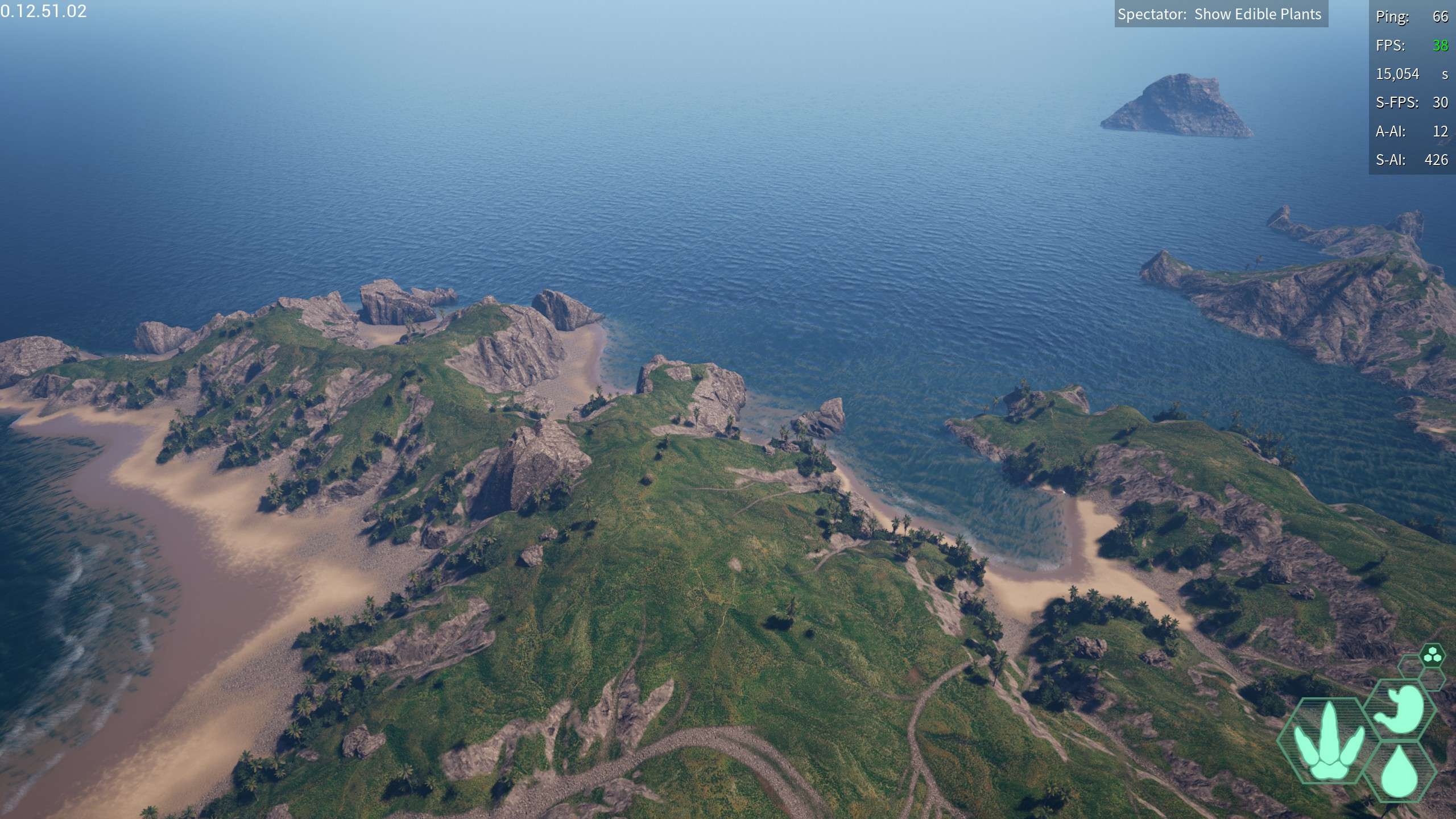
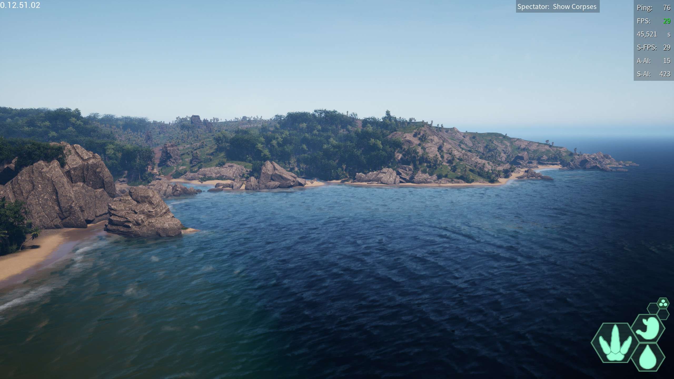
Coasts: Rocky coasts mainly for pachy and other coastal dinos, often close to water athough not containing water themselves and almost ALWAYS rocky
Includes the following plants: Coconuts, Mangos, Dulse, Fireweed,, Russula
Multiple Zones located one the following coordinates:
- -454,643.975, 437,366.423, 27,752.816
- -35,647.056, 439,291.437, 20,341.157
Big Island Pond: a plains biome features a decently sized island in the middle of the pond, and a river that feeds off it
Includes the following plants: Variegated Oranges, Marigold, Sunchoke Flowers, Agave, Cashew, Pumpkin
- -335,286.384, 337,540.944, 42,571.811
Coastal Jungle: Close to the Big Island Pond, this jungle borders the coast although does not seem to have coastal diets, only jungle ones
Includes the following plants:
- -362,210.33, 234,707.16, 29,145.36
Plains River: A massive river that feeds from the Thunderdome, eventually terminates in ocean delta
Includes the following plants: Variegated Oranges, Marigold, Sunchoke Flowers, Agave, Cashew, Pumpkin
- 187,451.444, -203,183.597, 26,673.934
Ocean Delta: A large coastal region that unlike river delta is not drinkable
Includes the following plants: Coconuts, Mangos, Dulse, Fireweed,, Russula
- 167,783.6, -310,129.23, 20,812.28
Highlands Jungle/plains: A Hybrid of jungle and plains biome, right around highlands and has multiple diet plants of both plains and jungle origin
Includes the following plants:
- 22,914.71, -162,112.81, 46,526.62
Sanctuaries
Swamp Sanctuary: the sanctuary located in swamp, decently sized and has plenty of cool little caves to go inside of
- 287,488.487, 33,309.798, 21,777.519
Water Access Sanctuary: A Sanctuary nearby to water access has a small pond and wallowing hole nearby
- -278,613.512, 182,522.135, 36,104.748
Hidden Sanctary: A massive sanctuary located around River Delta, does not contain any wallowing holes or easy water sources but contains alot of caves and rock perches
- -27,660.739, 226,020.44, 24,814.65
Human Buildings
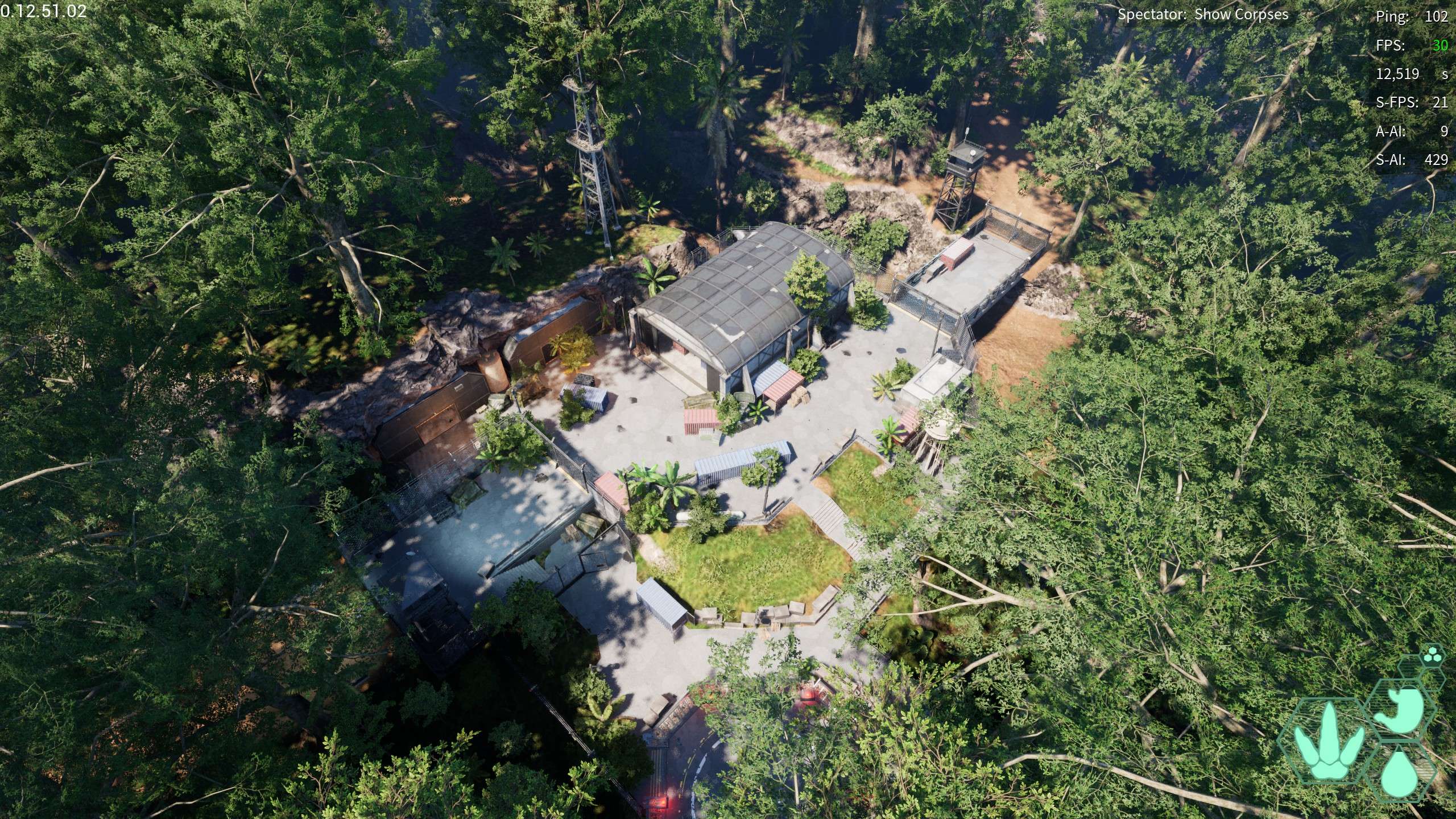
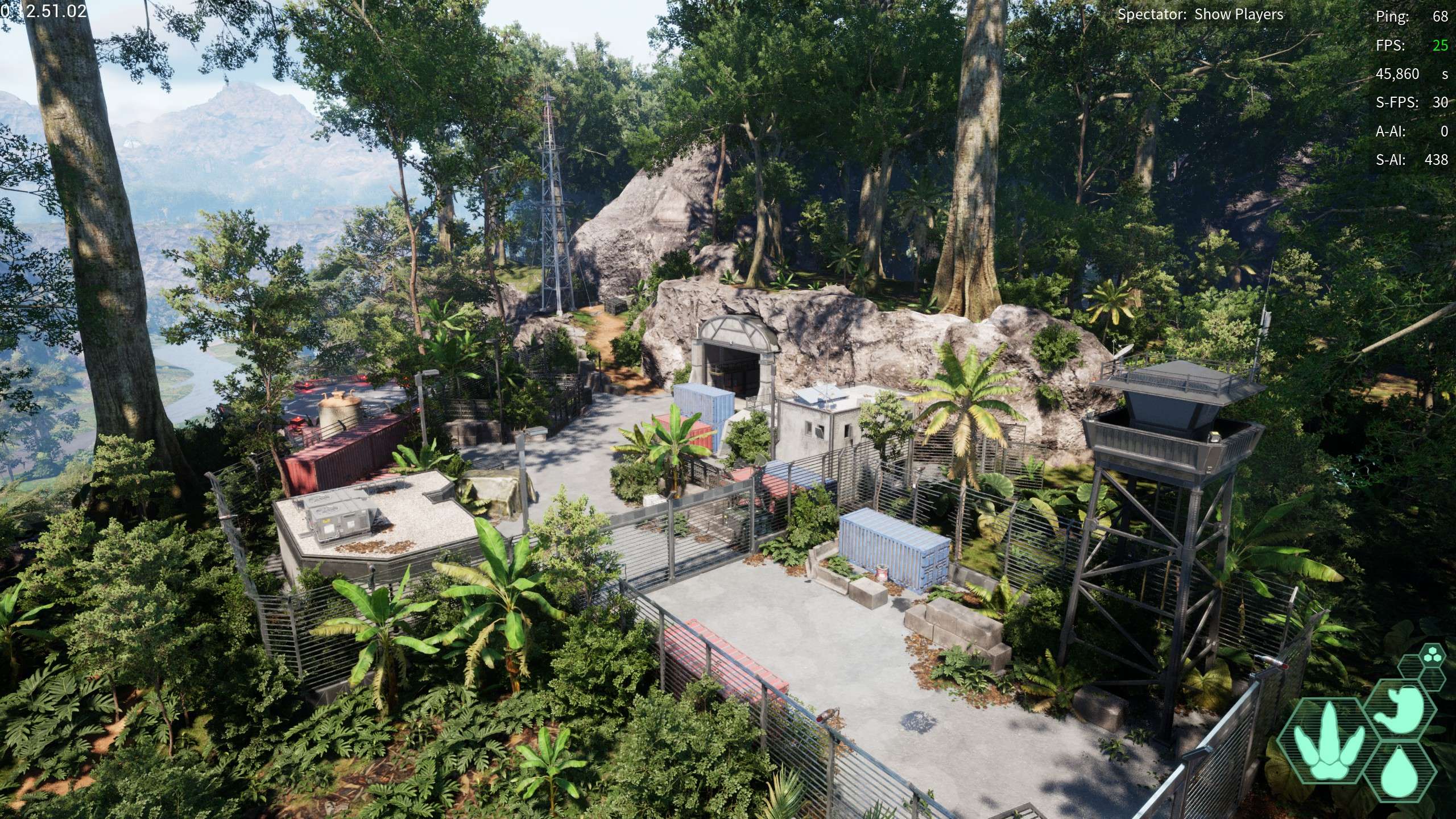
Coastal Outpost: A large human base on the northwestern coast nestled underneath a cliff
- -134,426.28, -300,056.93, 28,337.15
Northern bridge: a bridge around the northern coast
- -168,898.7, -186,984.6, 27,641.965
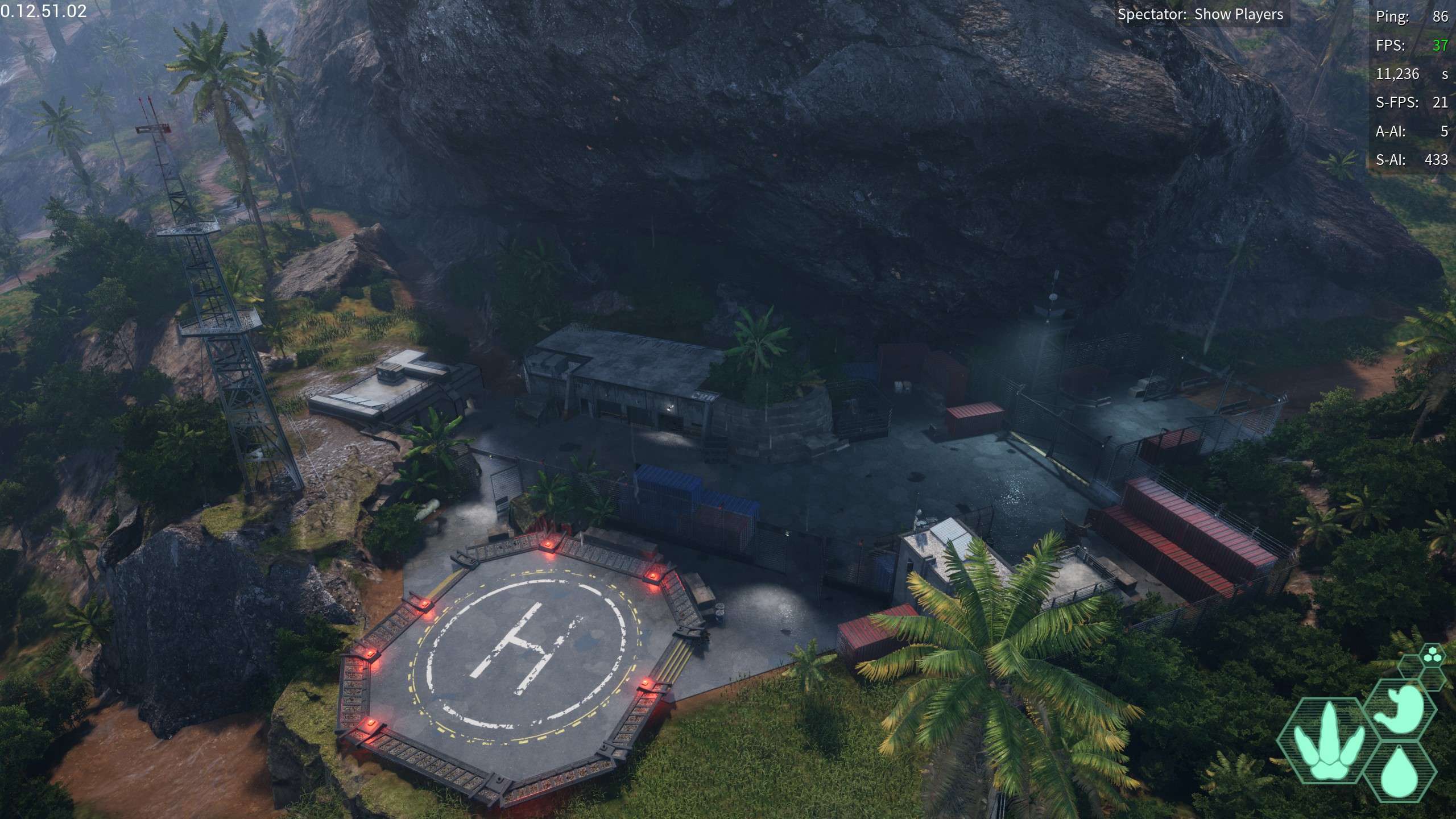
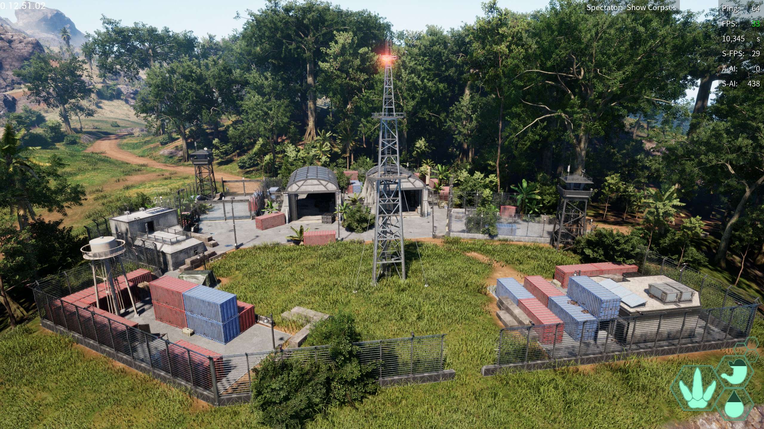
Hidden Outpost: Located on the northern coast this outpost is not far from water access, or it’s other locations hidden around water access. i THINK this is the human building used for that one herrera teaser but i’m not entirely sure, tell me what you think! (even has it’s own wallowing hole)
- -396,757.688, -20,889.048, 27,760.469
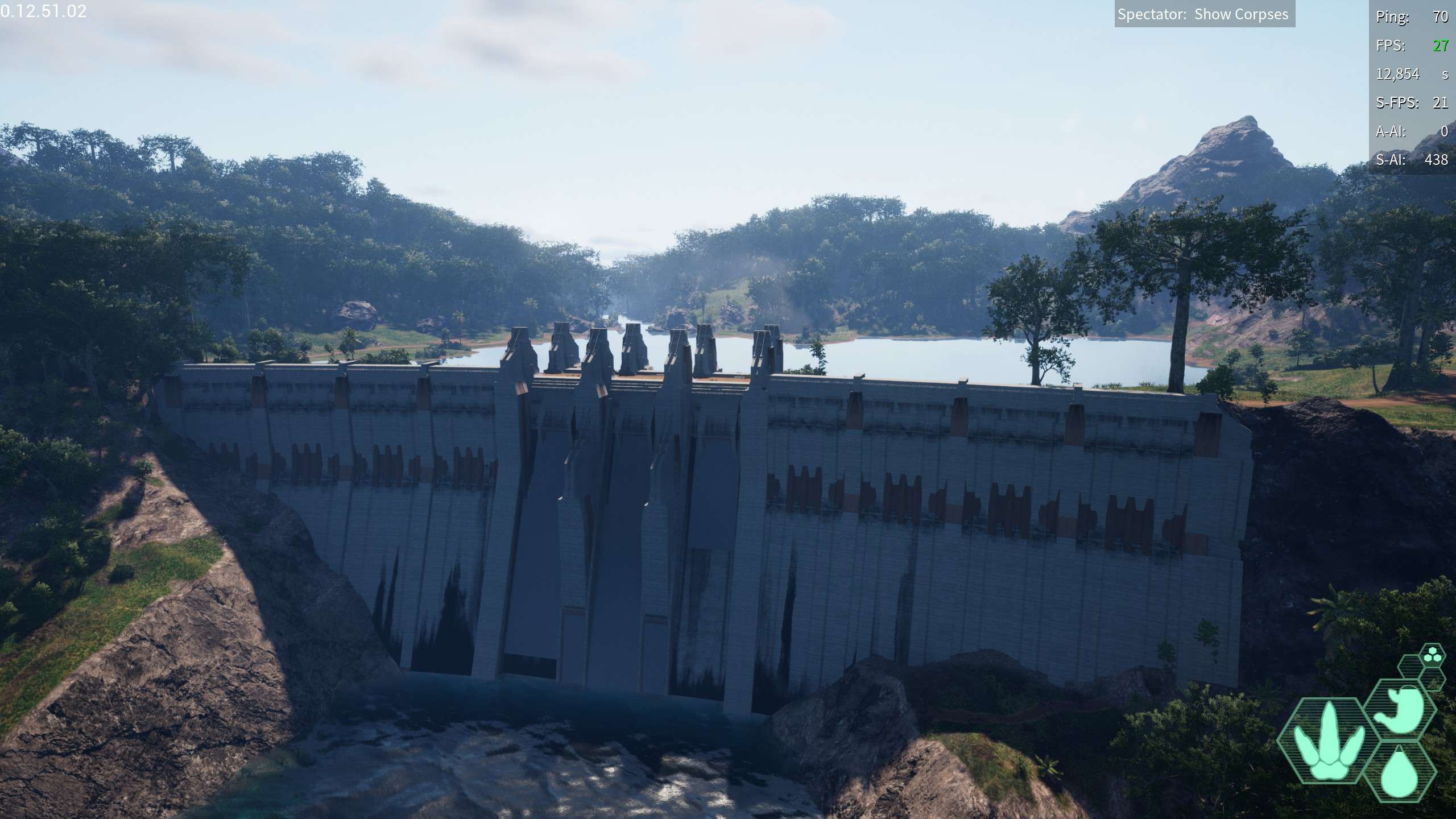
Water Access: A large dam creating a massive lake on the northeasternish coast, very prominent
- -287,337.26, 69,261.7, 31,250.57
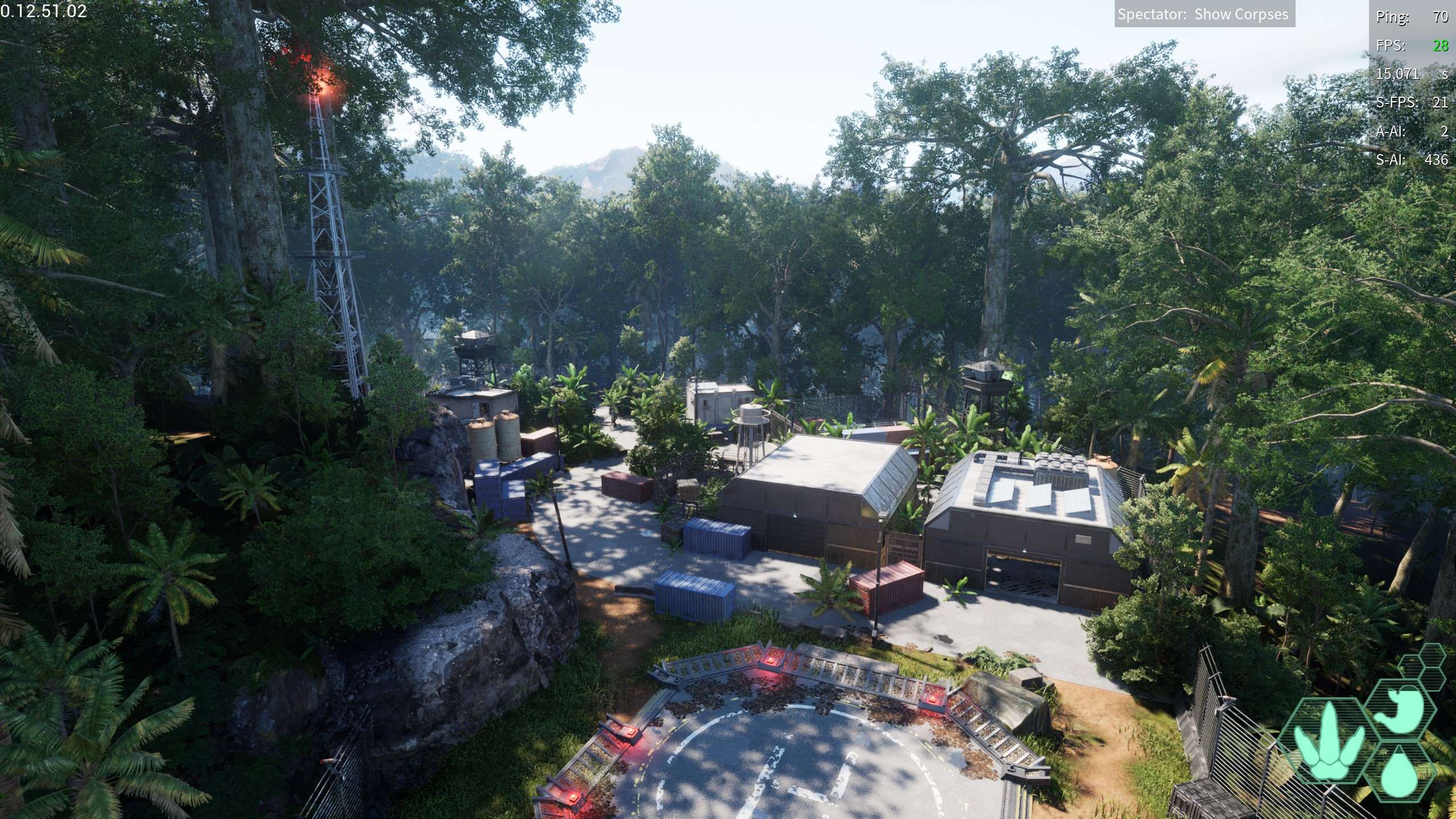
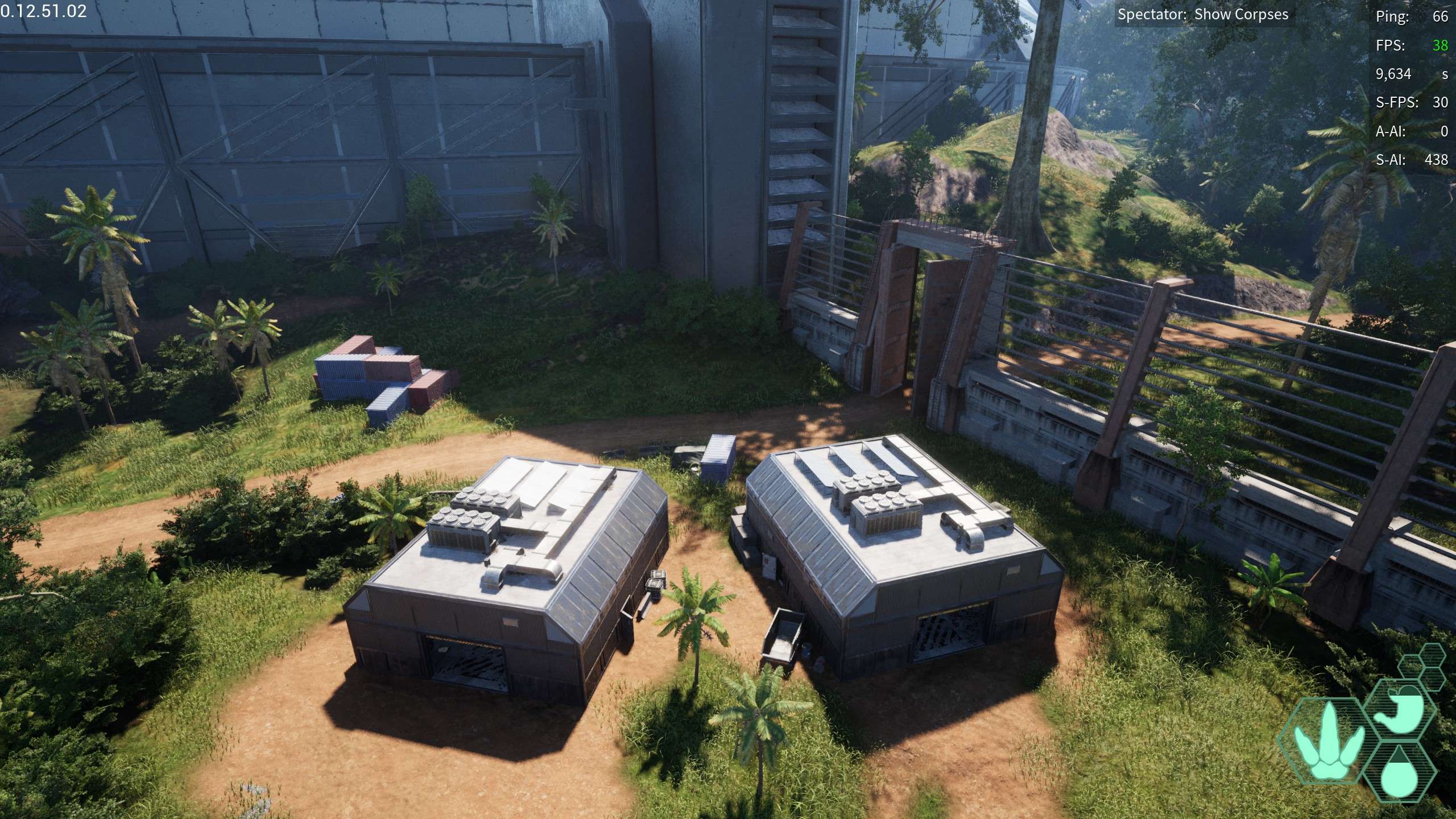
Jungle Outpost: A large outpost towards the northwestern coast, Also not far from water access. no wallowing hole sadly, just a bunch of buildings
- -416,890.25, 207,274.77, 27,872.284
Itty Bitty Fence: A relatively short fence on the western side of water access, has a wallow hole nearby, what would even be keeping out with such a small fence?
- -376,362.73, 208,264.33, 26,383.83
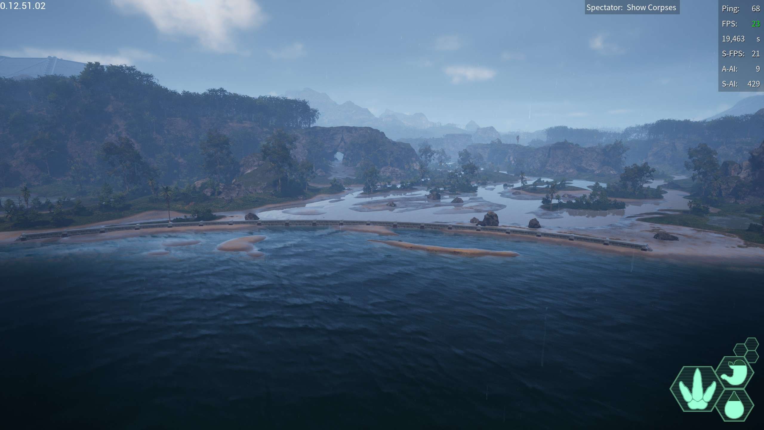
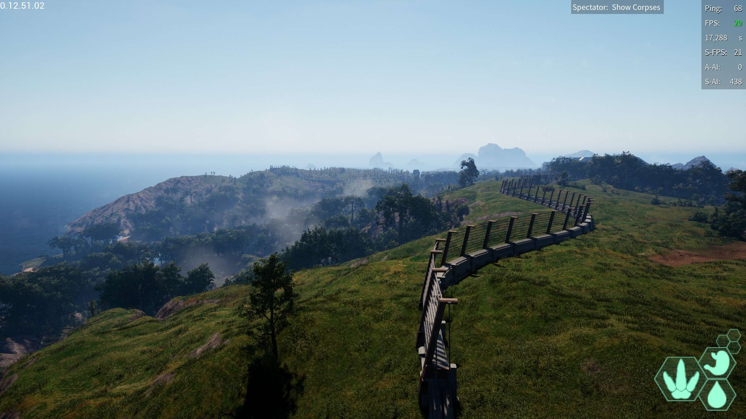
Great Fence: The large fence starting around the northeastern coast and extending all the way to the eastern coast
- -183,640.659, 449,870.714, 35,198.335
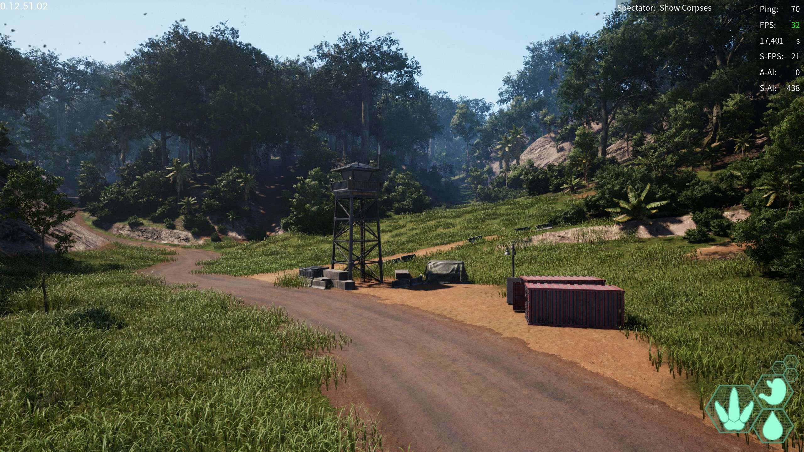
East Coast Checkpoint: A small checkpoint on the east coast, gl getting past the Great fence to get there
- -258,996.181, 467,166.343, 21,832.317
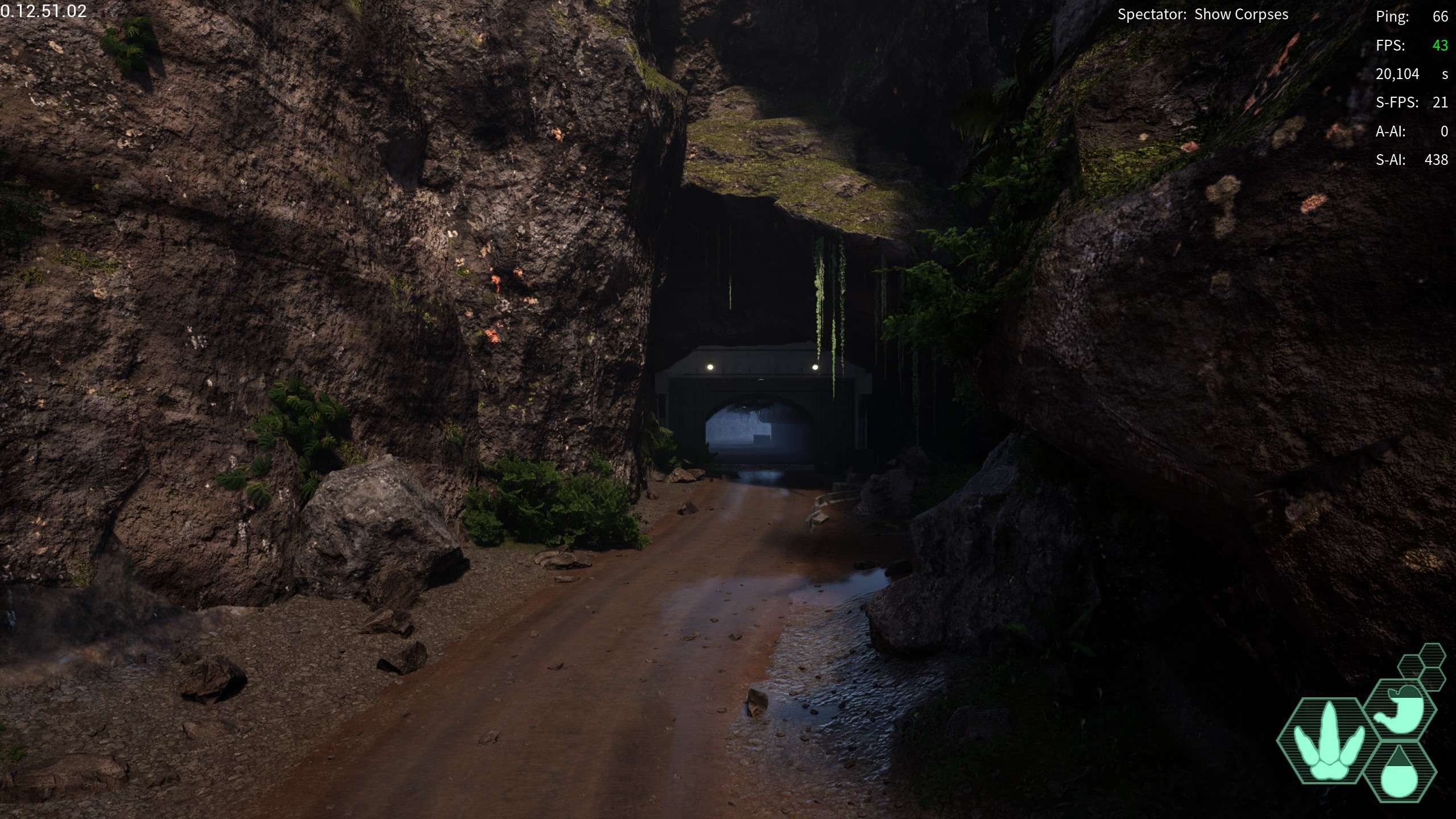
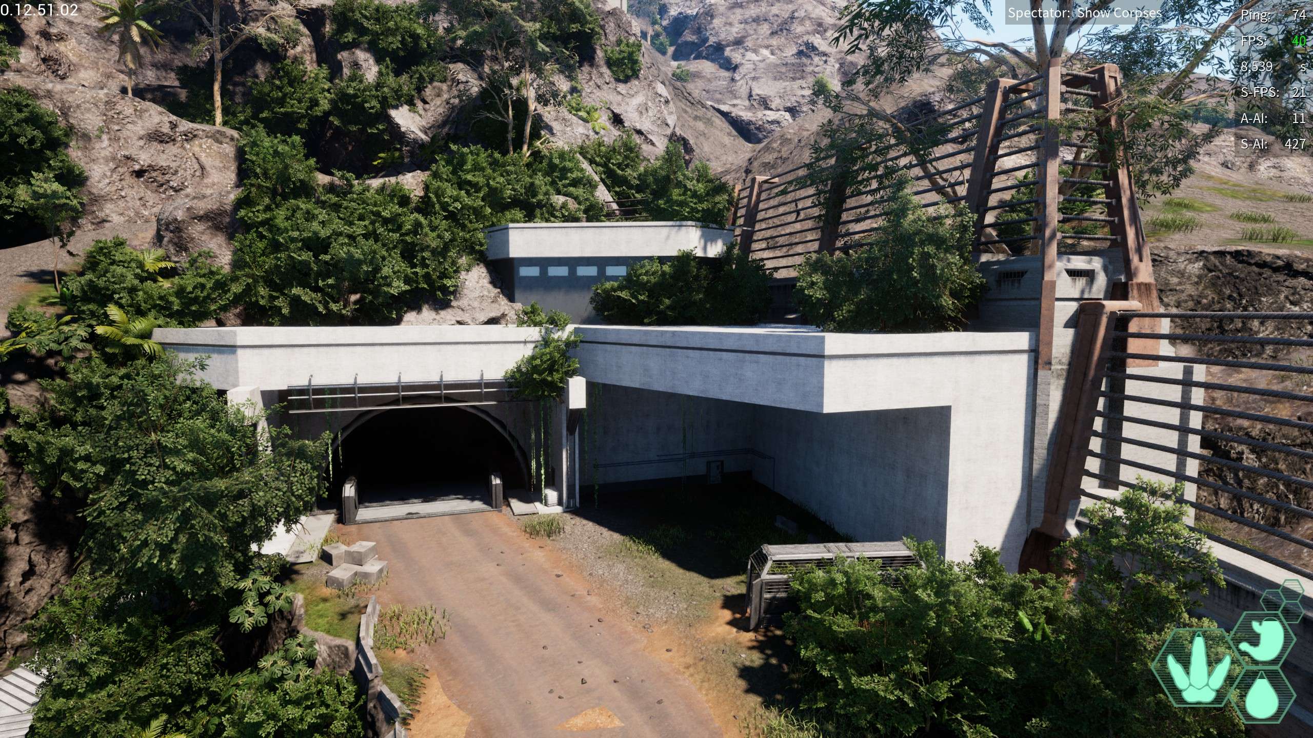
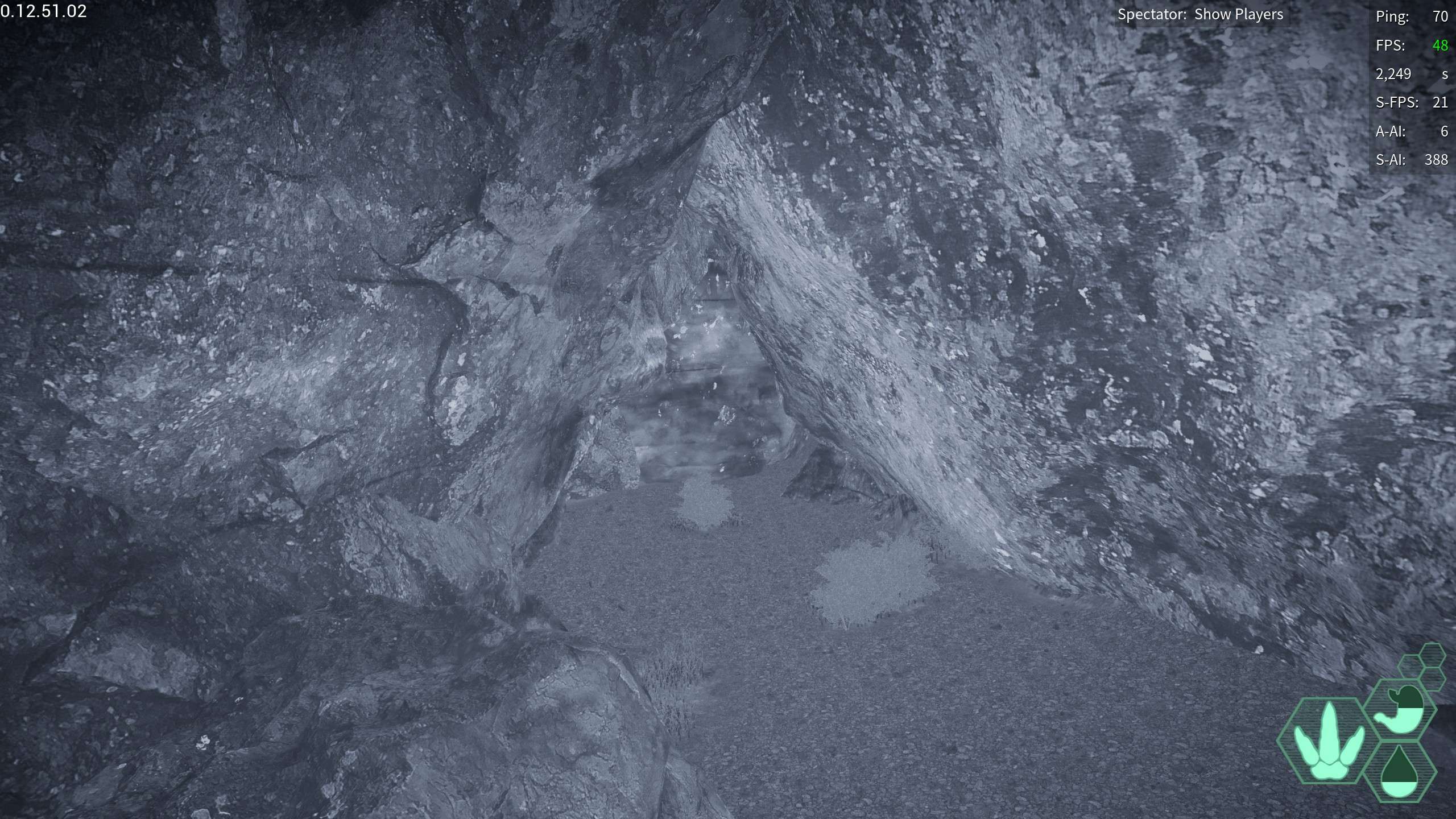
Swamp Passage: A large tunnel boring through the mountain to give easy acces to swamp straight through the mountain rather than over or around it
- 150,695.788, 120,409.235, 22,888.176
North Dome: The northernmost dome, on the north side of highlands
- -223,017.112, -111,053.508, 41,661.449
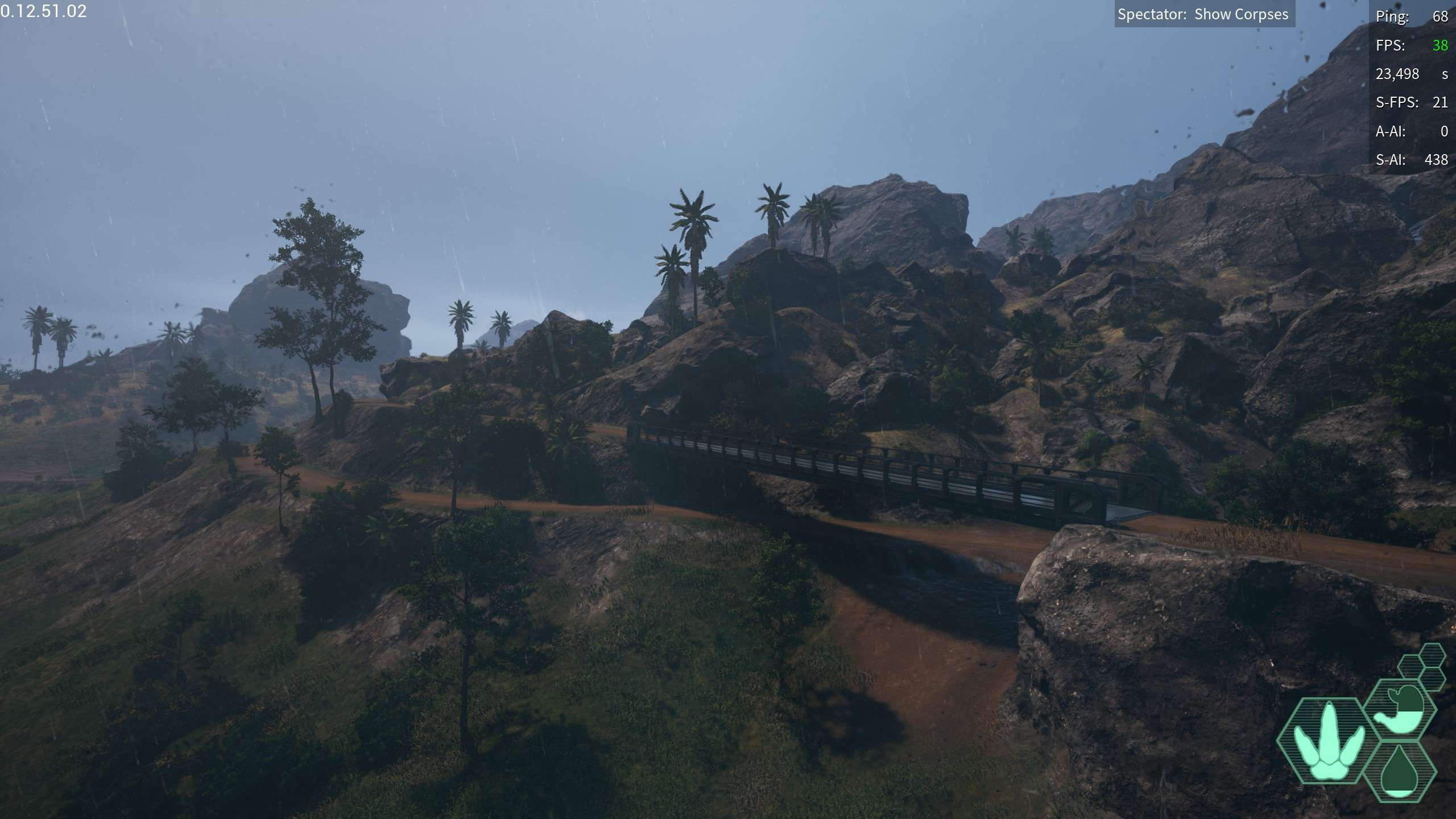
Highlands bridge: a small almost unneccessary bridge near highlands
- -206,306.627, 12,458.112, 43,061.493
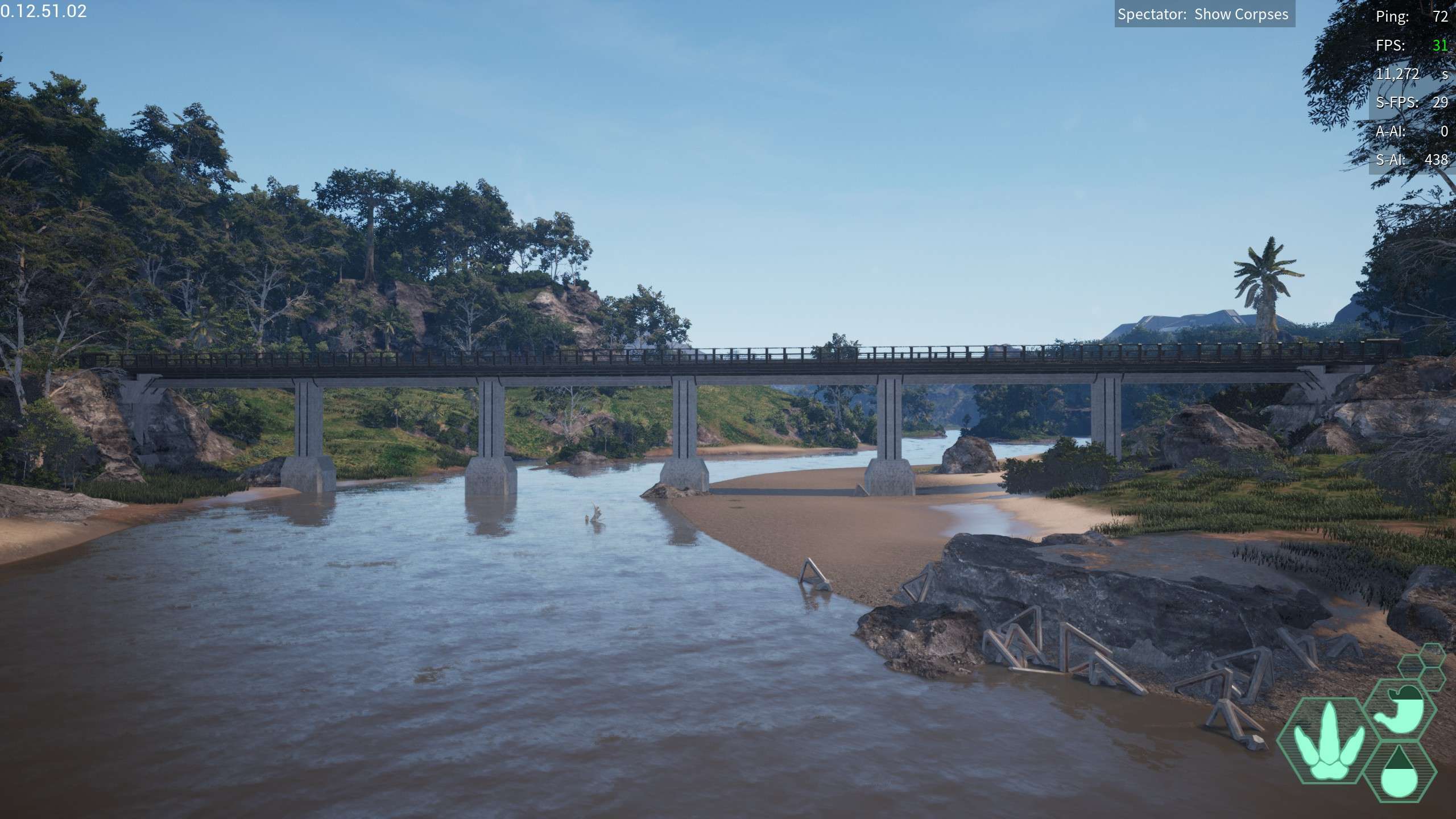
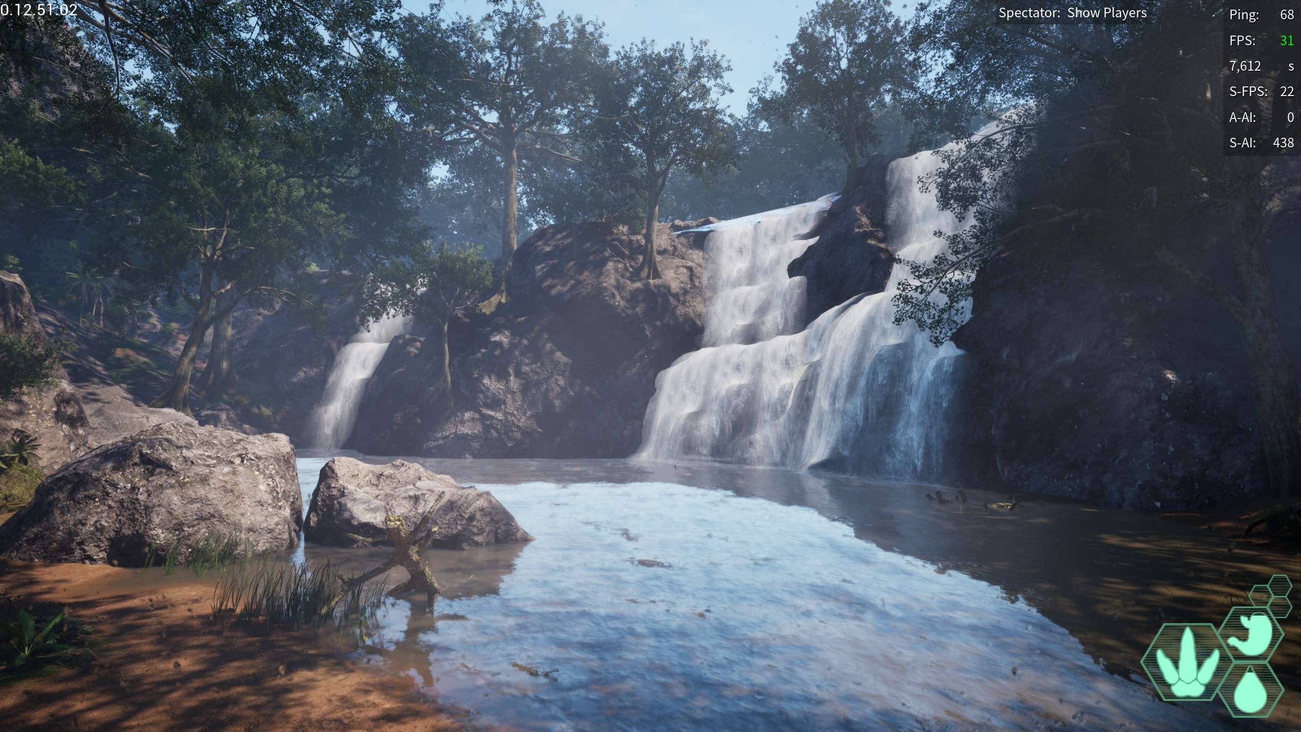
Twin Bridges: Two bridges by the Big Island Pond, one of them is WAY fancier than the other, going by one of the waterfalls stemming from the river that feeds off the Big Island Pond
- -263,145.714, 362,923.566, 35,603.75
Mountainside Tunnel: A tunnel going into the large mountain NE section of the map, you cannot go in the building or the tunnel
- -223,468.85, 288,826.75, 37,000.127
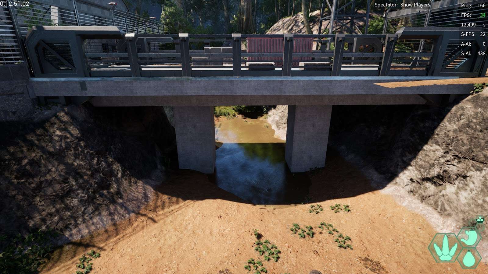
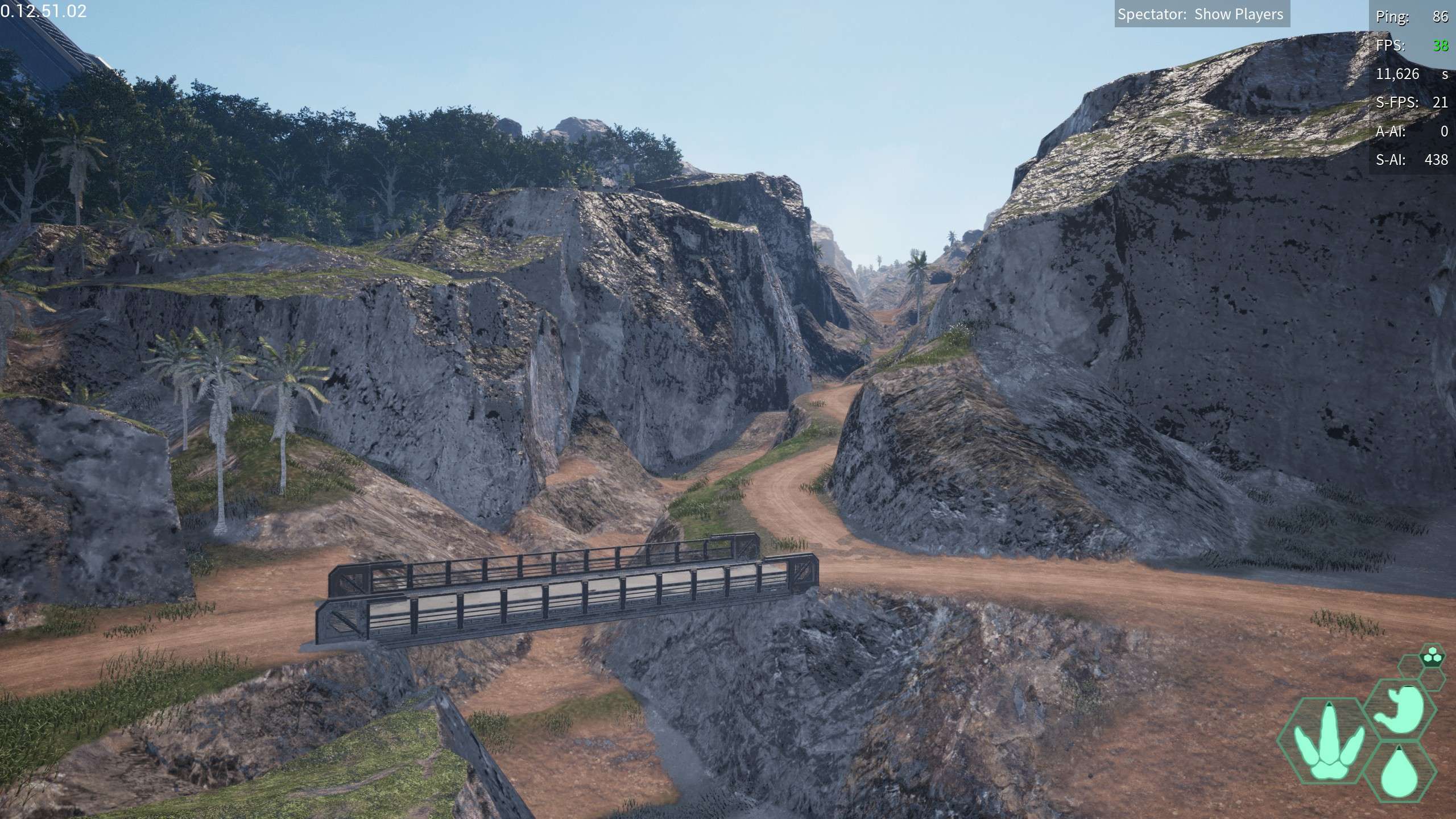
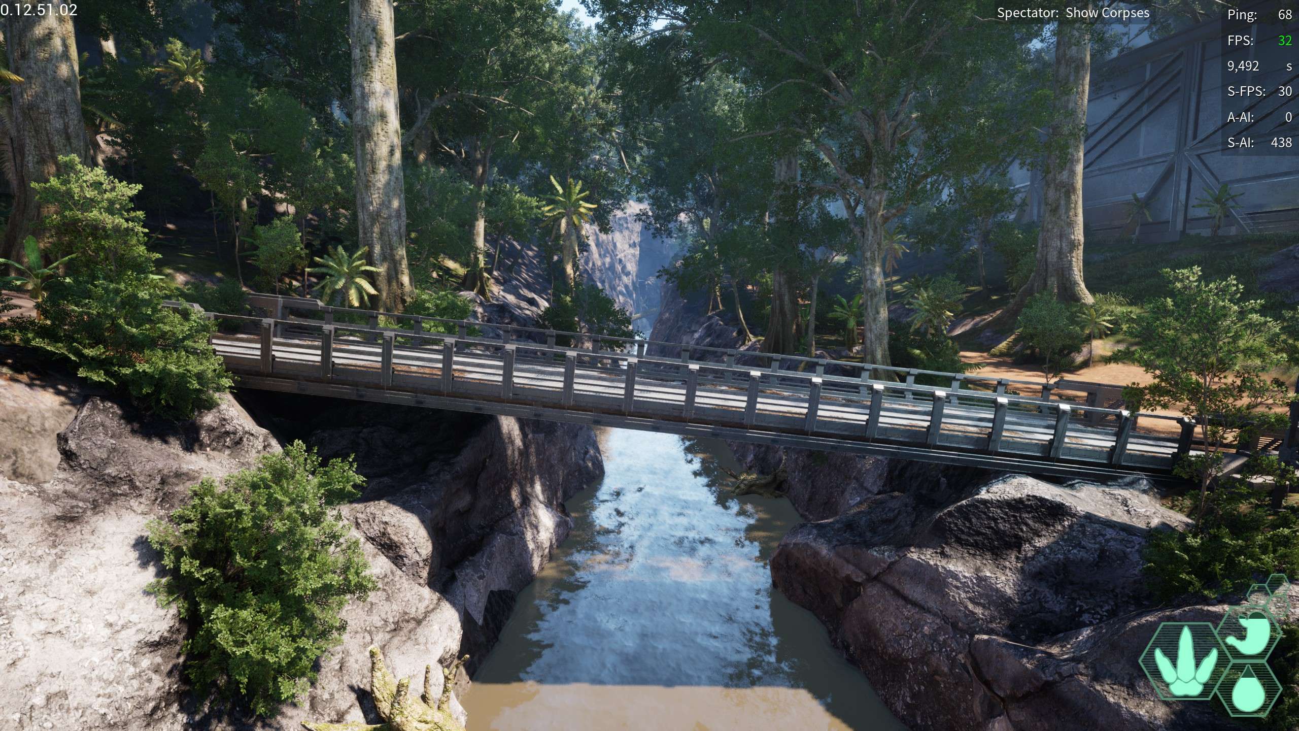
Pyramid Bridge: A bridge going over the river that feeds off of water access, surrounded by strange metal pyramids, hence the name
- -175,320.8, 161,309.48, 23,834.521
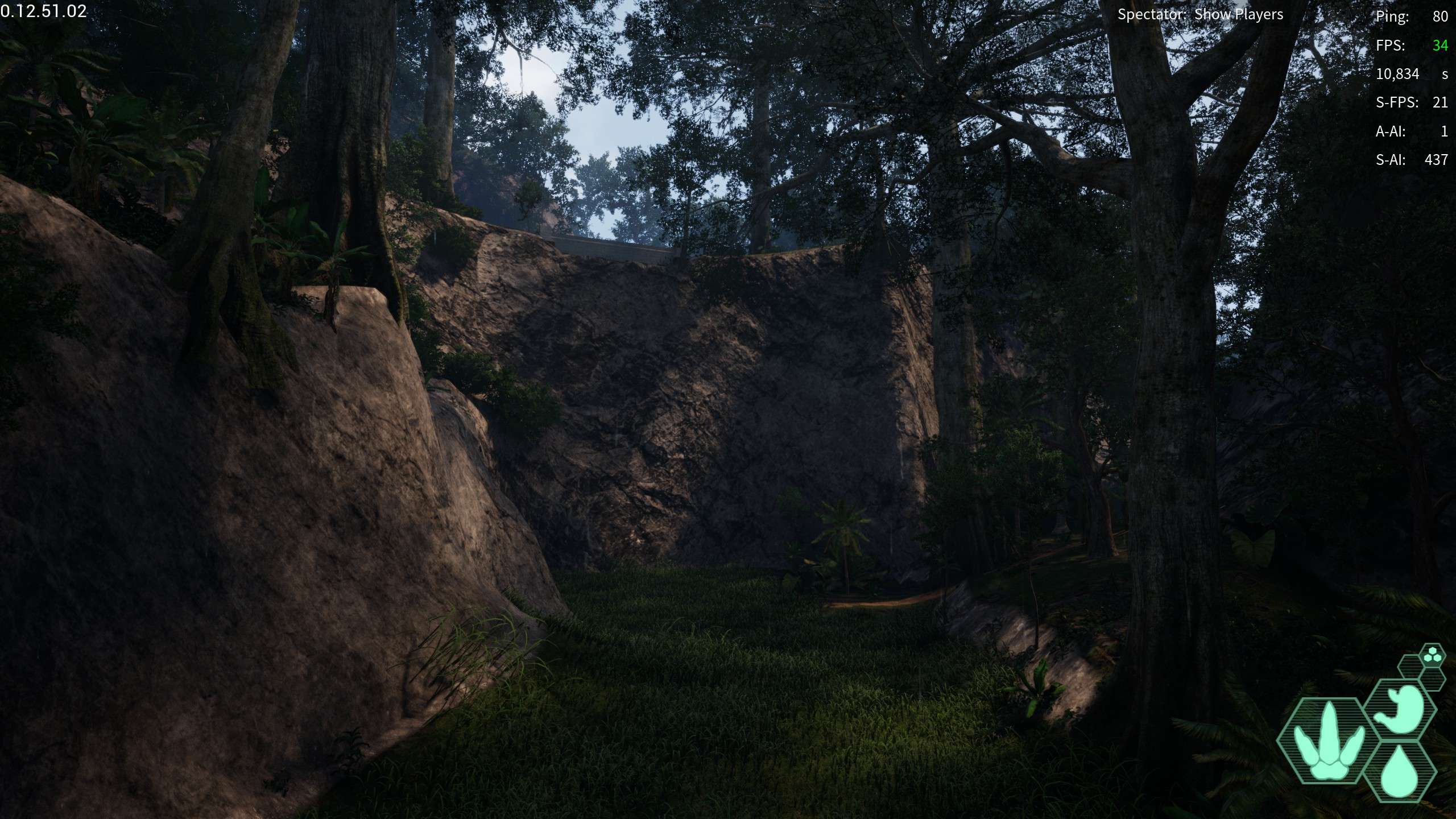
Ravine Bridge: A bridge crossing over a steep ravine at the bottom of which is a narrow river, the river seemingly starts from nowhere and is around Falls Pond
- -133,747.356, 333,472.669, 22,799.519
Dome Outpost: A small outpost by the easternmost dome (the one seperate from all the others) and right next to Ravine Bridge.
- -121,114.627, 327,197.457, 23,055.672
East Dome: Another massive dome, far from the other more clustered domes
- -103,621.6, 363,489.46, 45,475.674
Highlands Outpost: a good sized outpost similar to the rest near the Highlands
- -96,128.206, 87,810.582, 38,738.729
Titanic Bridge: a massive bridge extending over a river near River Delta
- -58,572.889, 182,239.799, 22,614.555
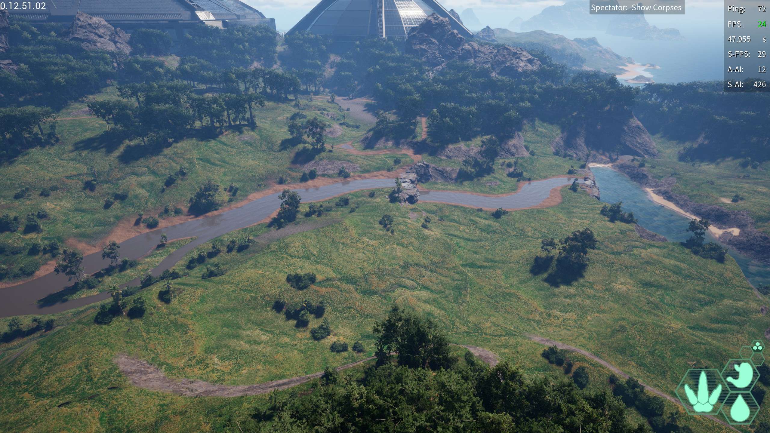
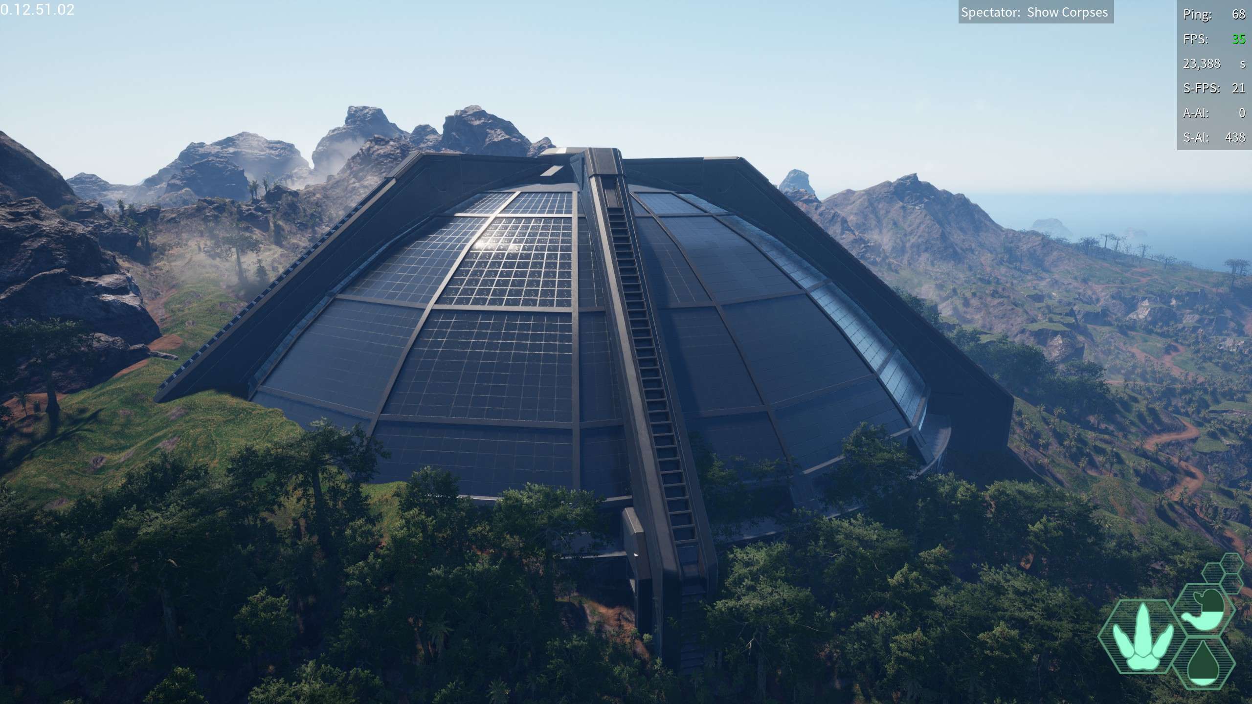
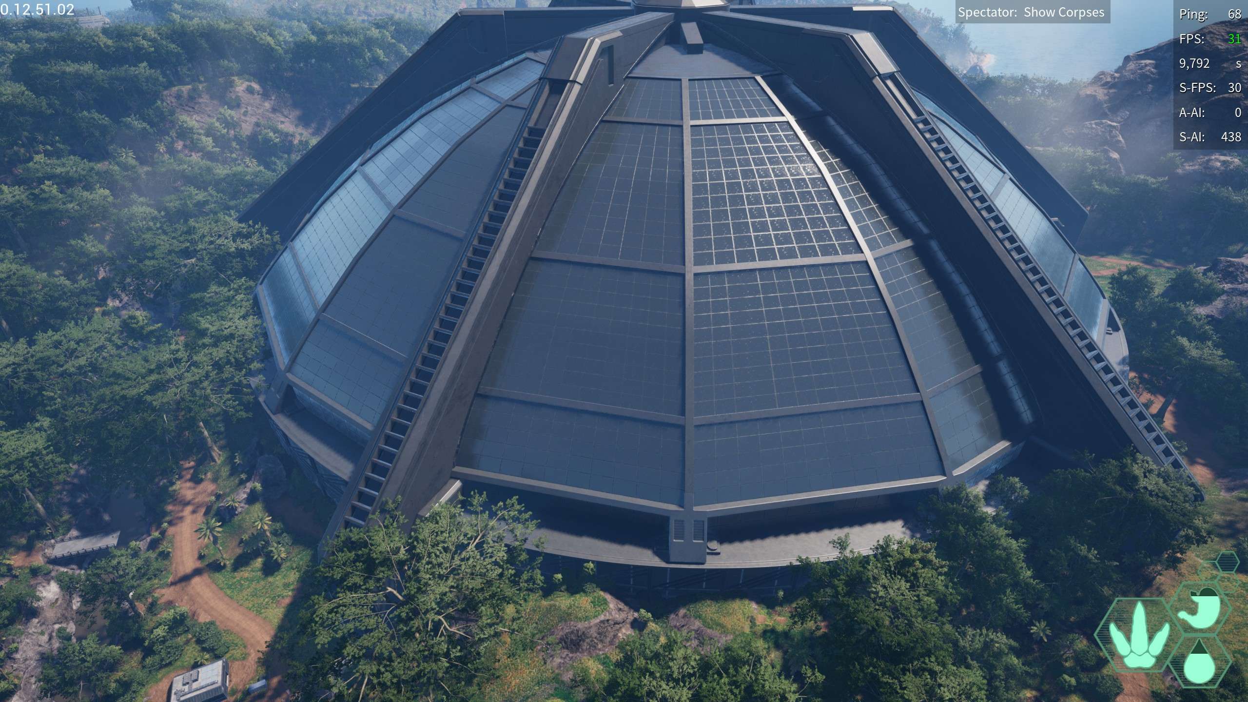
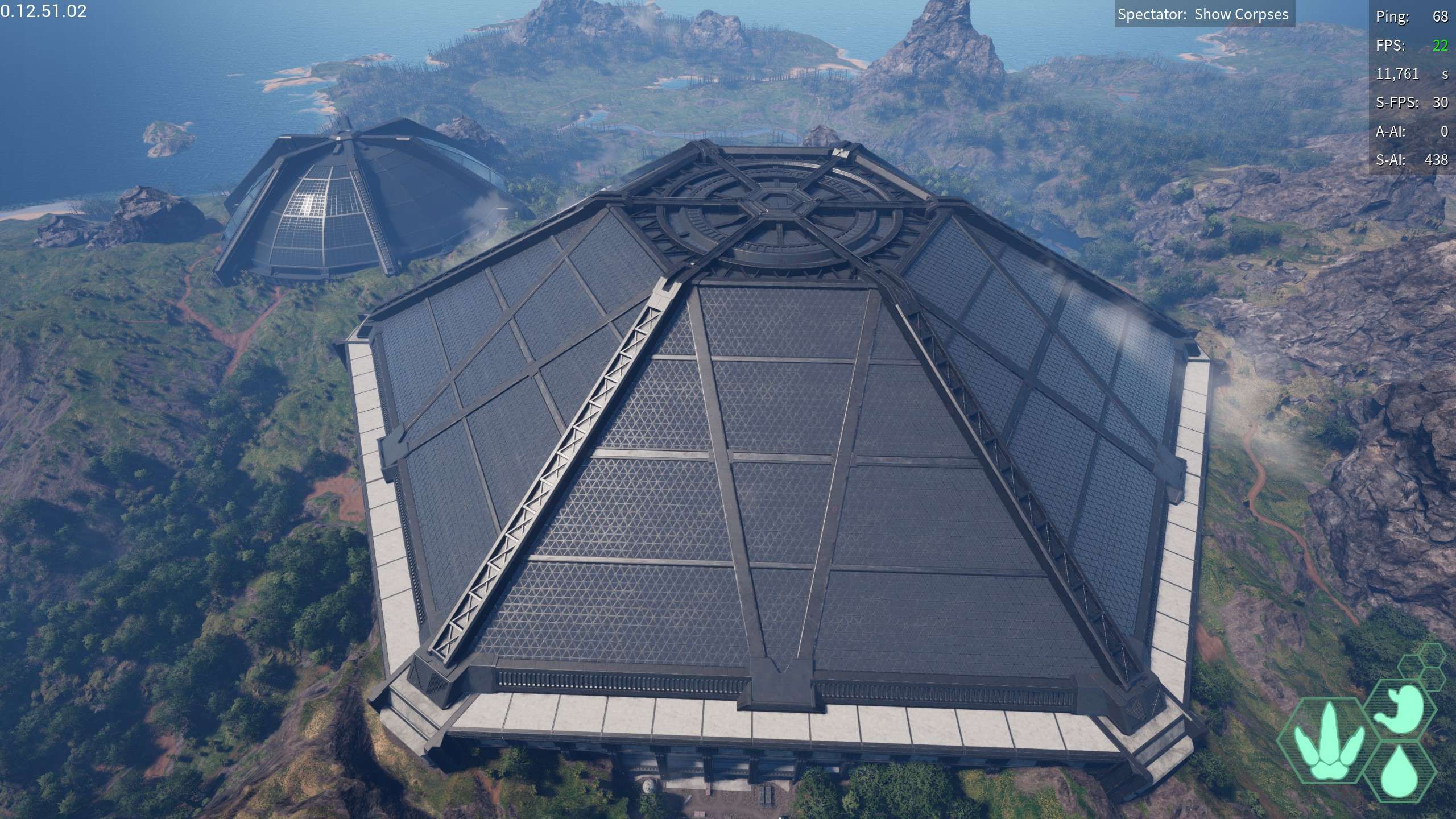
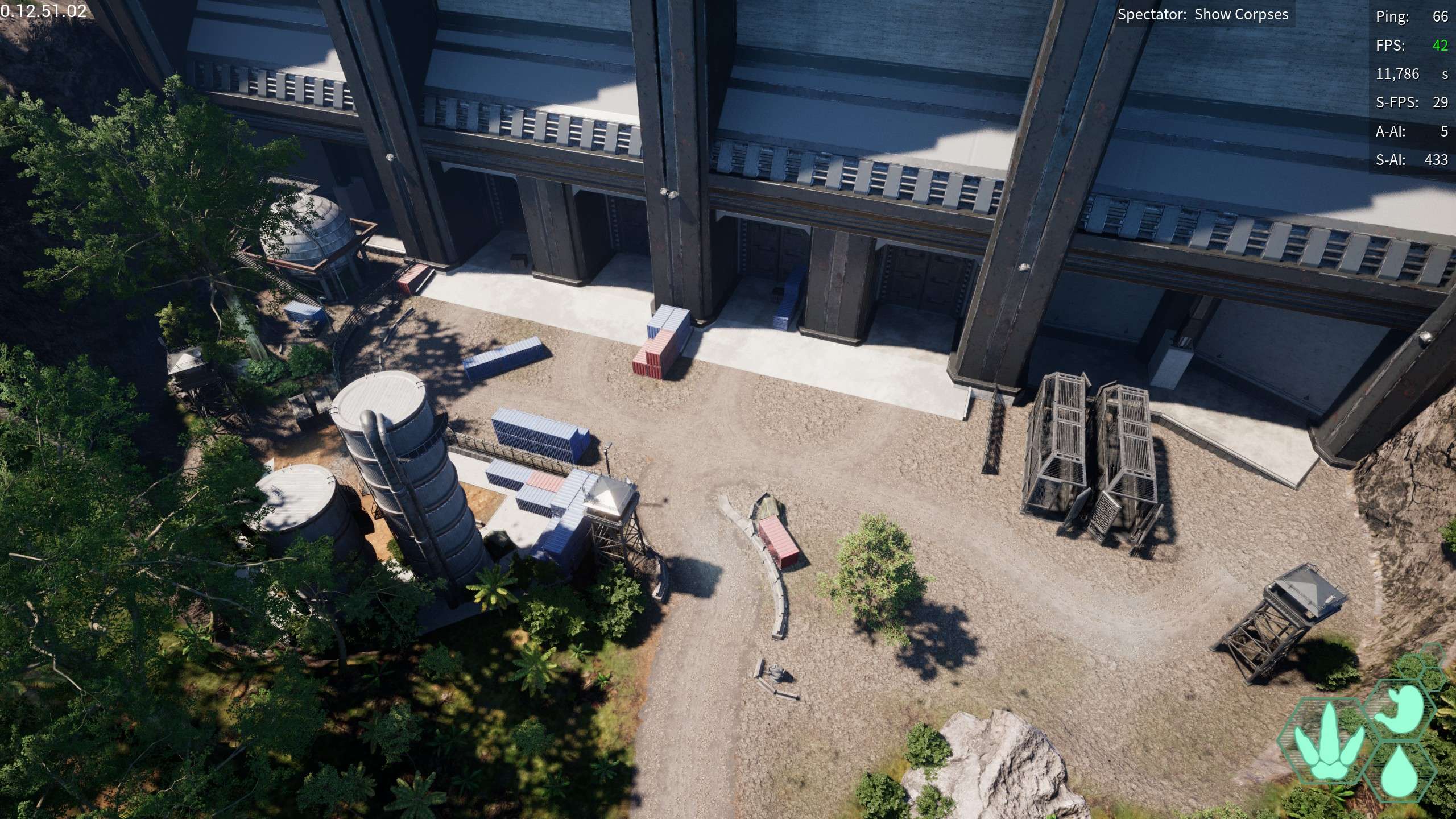
Thunderdome: The largest human structure on the map, an absolutely titanic structure that is the only dome to have an accessable (if unfinished) interior is recognizable by its size and being clustered with it’s neighboring dome
- 102,434.086, 26,004.84, 33,714.136
Reservoir: Right next to the Thunderdome, seems to not really be a outpost so much as water tanks and other related buildings
- 102,434.086, 26,004.84, 33,714.136
Hidden Dam: A Dam integrated into a steep rock wall by highlands
- 55,621.29, -95,601.07, 37,900.077
Cliffside Bridges: Two bridges alongside the highlands cliffs
- -107,907.32, -224,941.234, 35,557.696
Delta Outpost: A outpost up on a cliff near river delta
- 36,079.64, 256,050.59, 27,406.84
Geologic Structures
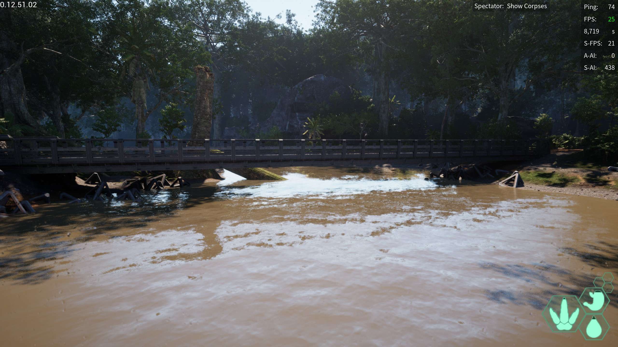
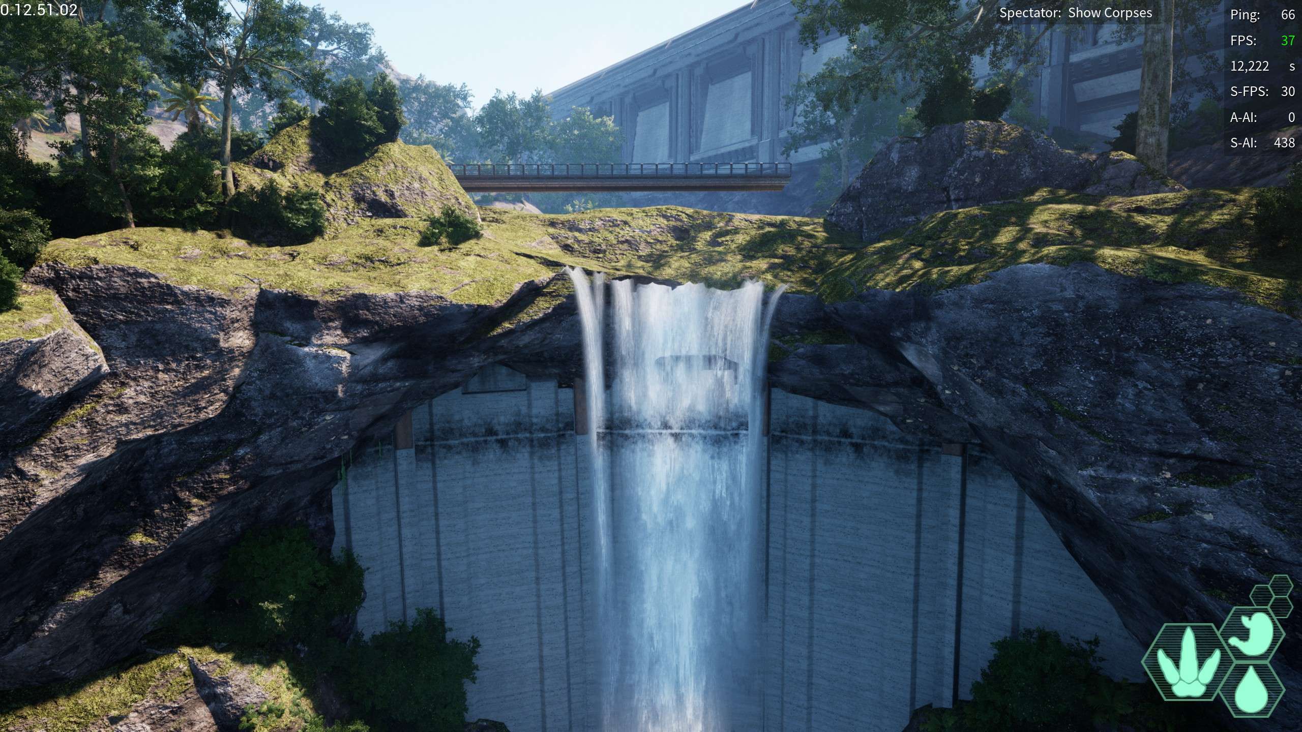
False Waterfall: a large river on the western side of the island eventually terminates at this “false waterfall” since no water falls, yet it has the shape to be one, the wall at the top seems to just MAGICALLY stop the water.
- -100,153.907, -465,306.355, 27,272.28
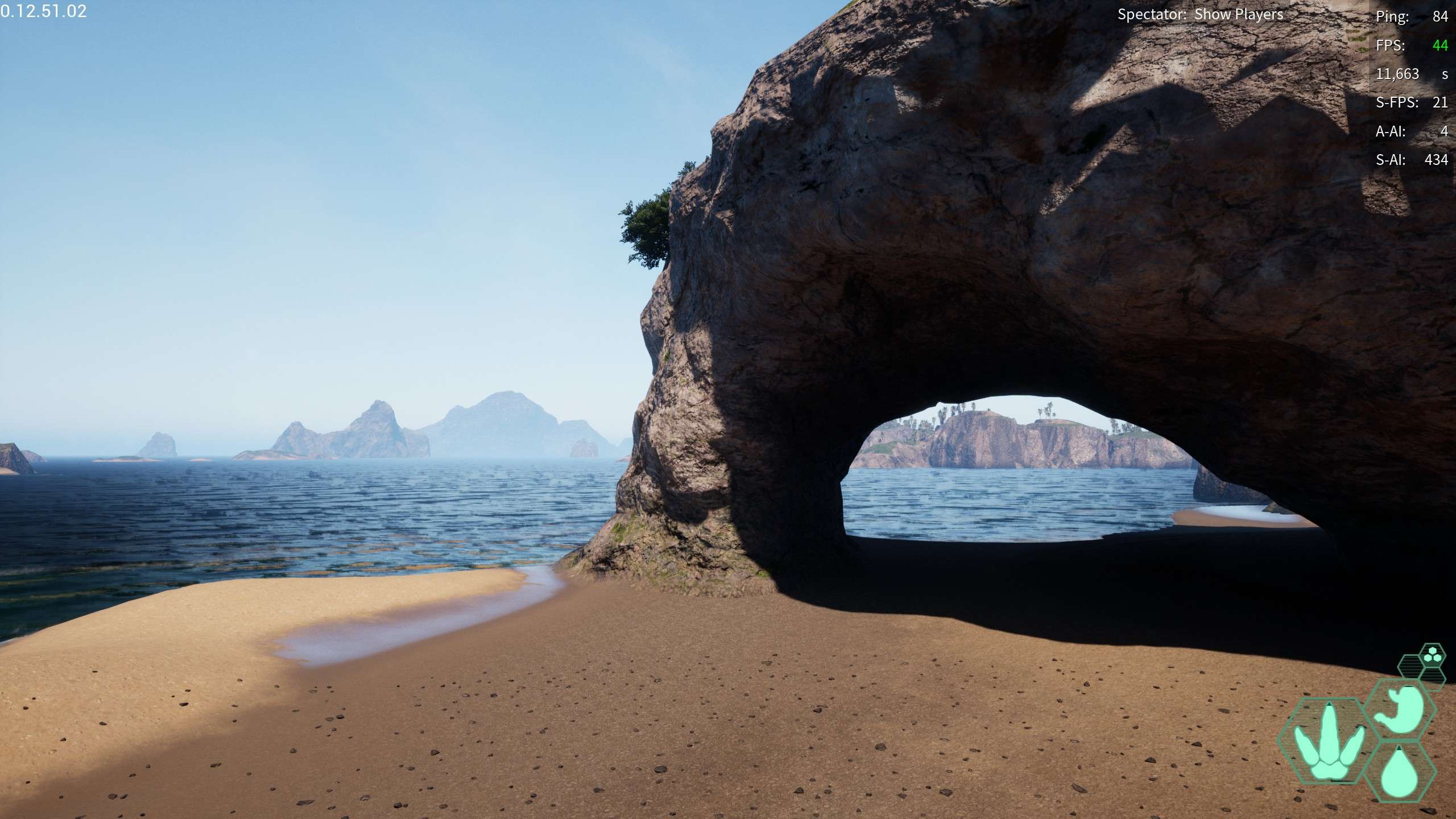
Archway: An oddly nostalgic archway on the northern coast, reminds me of the spiro days with the the western coast archway
- -211,017.66, -205,677.547, 20,419.101
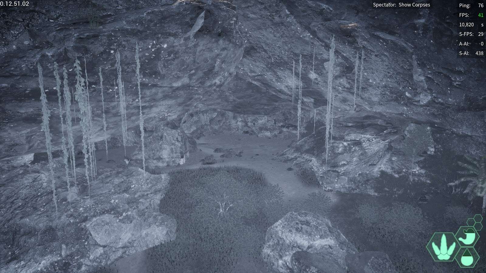
Highlands cave: a crevice in the side of highlands forming a cave, NOT the ravine that goes to the highlands lake
- -95,837.21, -85,008.103, 50,839.1
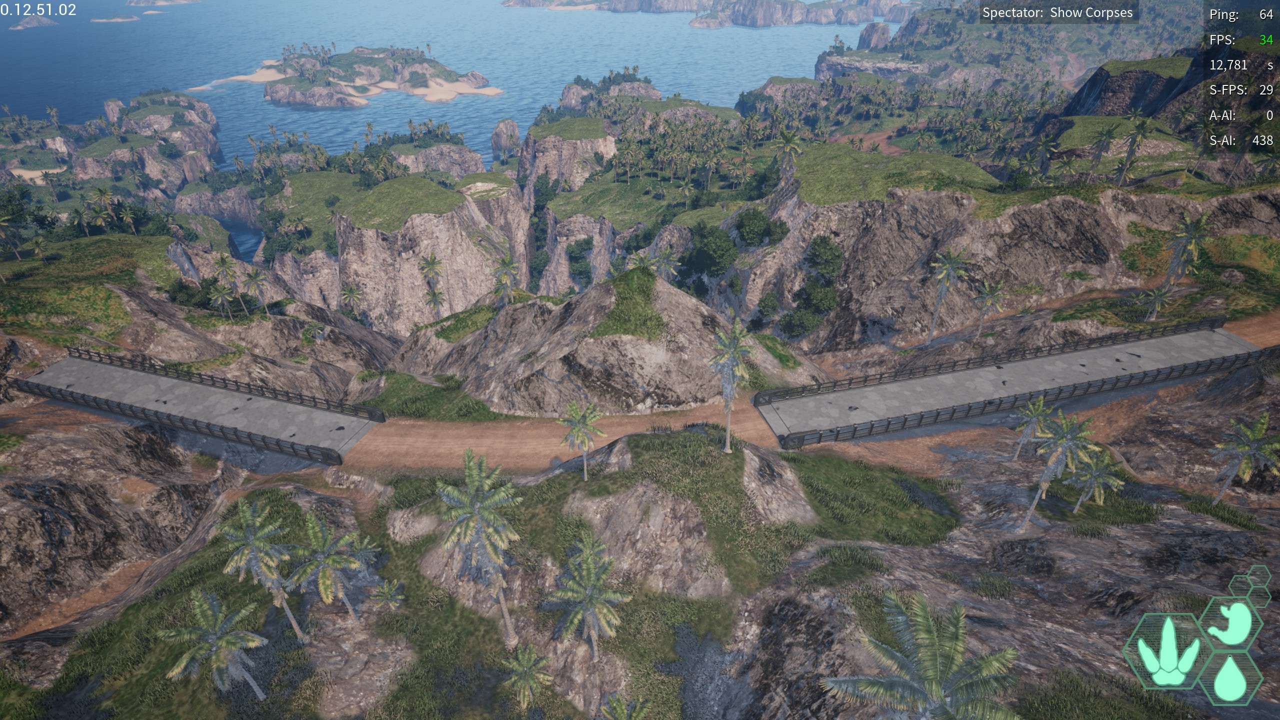
Cloud Mountain : An out of bounds location that reaches up into the clouds, an exterior island far from the mainland
- -775,649.835, -761,899.795, 88,324.545
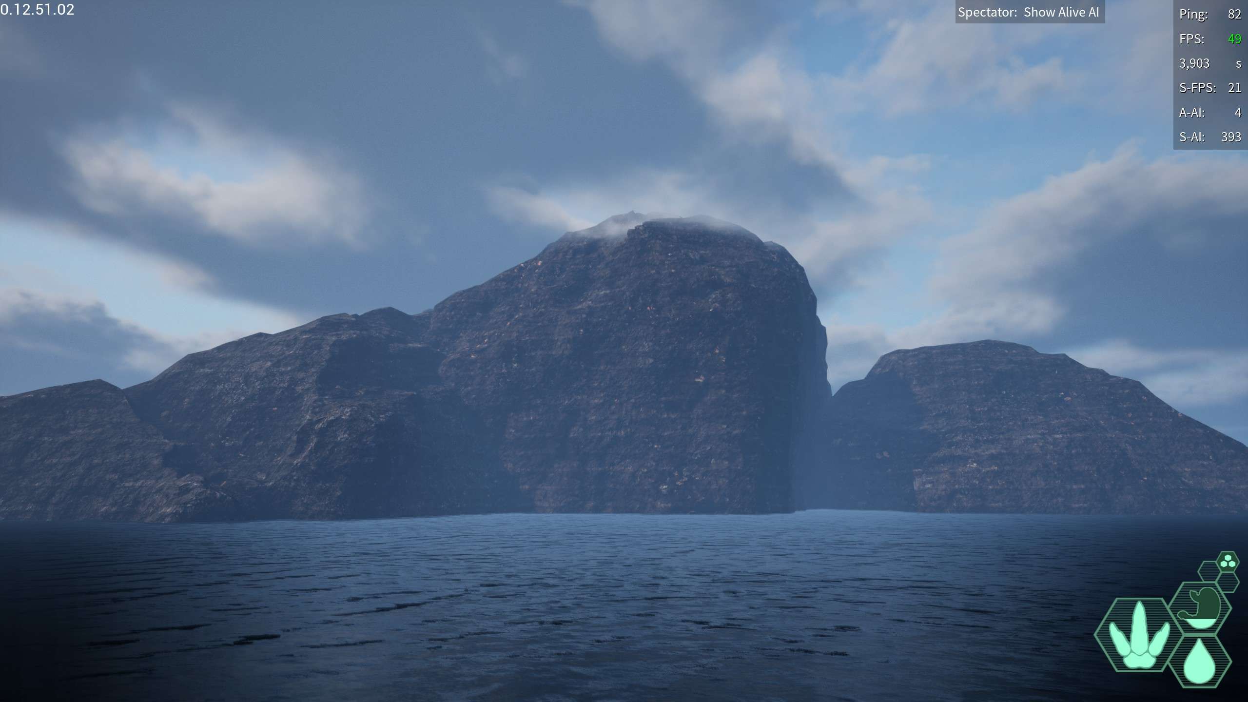
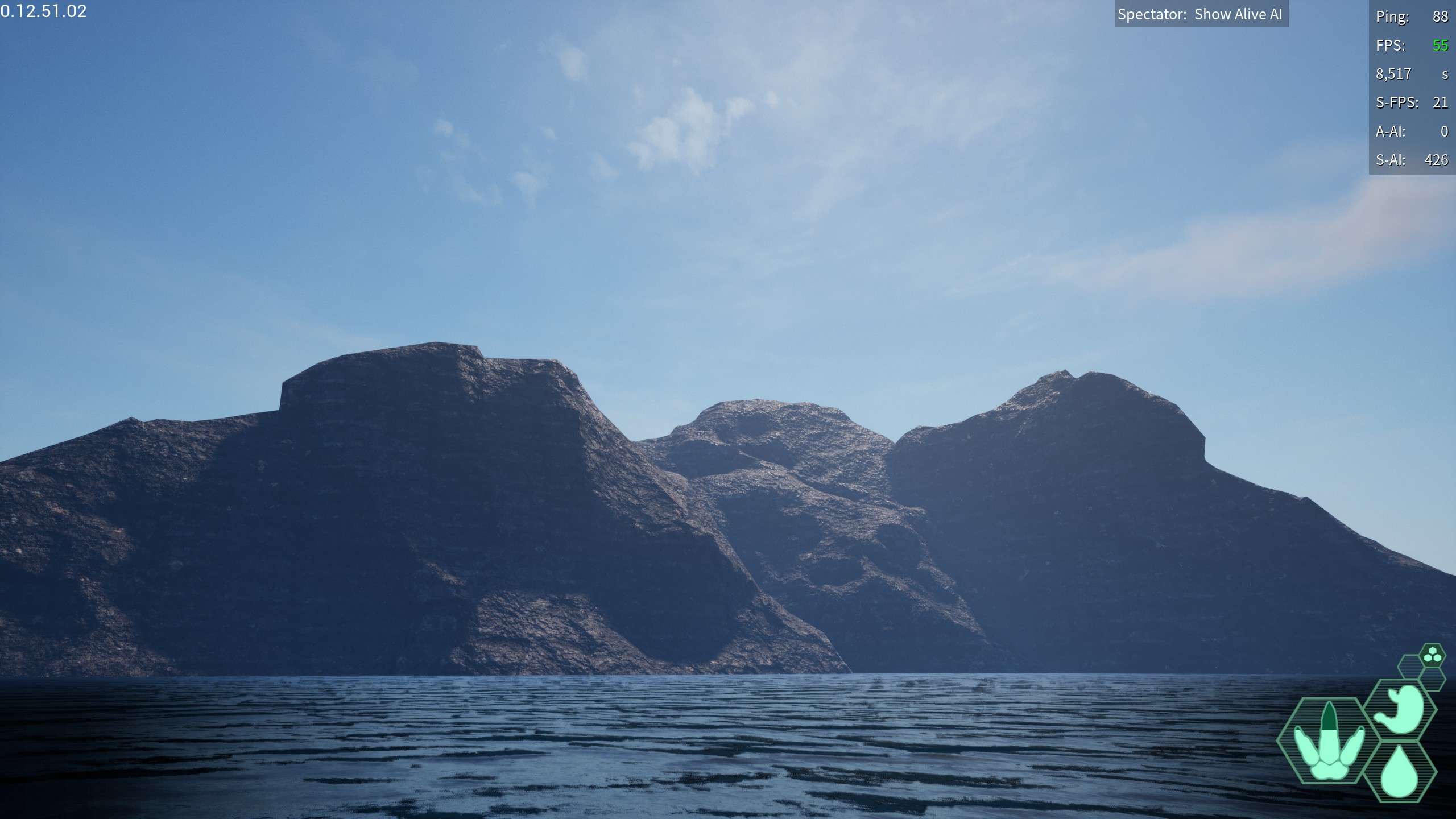
Titanic Mountain: slightly larger than and opposite of the cloud mountain sandwiching the island is the slightly taller but much wider titanic mountain these two mountains serve as great landmarks for direction if you forget which direction is which
- 844,956.537, 514,588.639, 88,648.895
Water and Ponds
Water Access Pond East: A pond on the northern coast not far from water access (the massive dam thingy) relatively safe, I doubt deinos would make their way here to camp
- -336,765.16, -60,536.133, 24,809.477
Water Access Pond West: ANOTHER Pond on the northern coast not far from water access, this one is more western and hidden in the trees
- -389,047.74, 144,116.89, 29,155.29
Southern Pond: Far south, a bit of a ways from swamp is a pretty comfy pond
- 305,469.275, -136,368.104, 25,379.194
Plains Pond: Close to highlands, and relatively easy to access using the trail to it from highlands, convenient wallowing hole right next to it as well
- 11,178.131, -290,055.002, 29,481.892
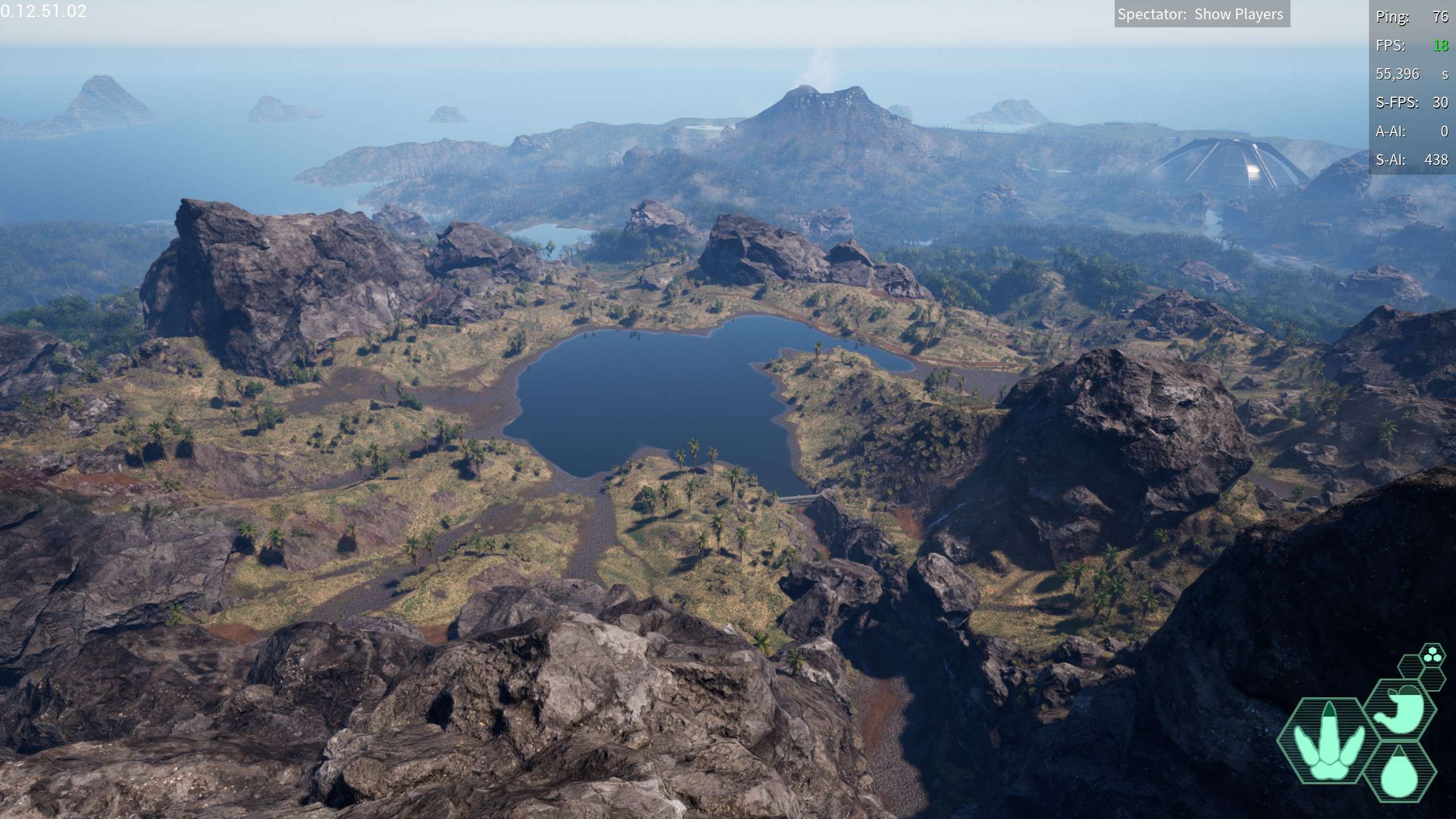
Highlands Lake: A massive lake in highlands, quite easy to access as deino, so be cautious
- -147,112.838, -36,123.372, 48,374.786
Access Sanctuary Pond: a small pond by the water access sanctuary, unlikely to have ANY deinos
- -294,889.557, 188,861.92, 35,478.645
Falls Pond: A decently sized pond formed from the river stemming from the lake by the great fence not necessarily safe from deinos, but is a pretty cool spot to visit
- -175,773.94, 325,653.2, 21,591.21
Little Island Pond: A decently large pond near the Great Fence, not the one that has the river stemming from it
- -146,312.307, 493,740.512, 33,488.306
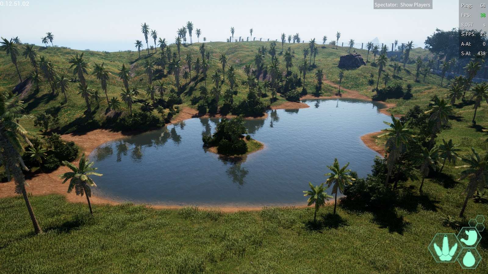
Hidden Pond, A small pond near highlands hidden away, inbetween highlands and river delta
- -5,305.458, 80,684.37, 29,871.96
Forks Pond: A small lake located around the fork where the river from Water Access and the Ravine River meet to form River Delta
- -163,208.037, 248,958.77, 22,706.73
Misc
Hells Mouth: The deepest location on the map, located off the southern coast this deep pit extends far into the ocean floor, if exploring outside of spectator, I recommend the use of beipi, as beipi will have a better water timer and better chances making it out in and out of the 0 altitude line. Do not attempt to approach outside of spectator unless already aware of the 0 altitude glitch, below the 0 altitude mark the ocean ceases to exist and you can walk around and breath as though on land, if attempting to make it to the hells mouth location, you will first need to find somewhere on the seafloor you can transition from ocean to land and (hopefully) be able to come back from that point. Hells Mouth is 50,000 Altitude below sea level.
- 608,519.832, -178,543.339, 20,158.318
Vein Island: Located off the coast of swamp, this massive island chain contains grass, AI, And even a wallowing hole, it does not seem to contain any drinkable water or edible plants, but it’s a fun coastal location to visit regardless.
- 404,868.089, 436,554.633, 26,904.8
Be the first to comment